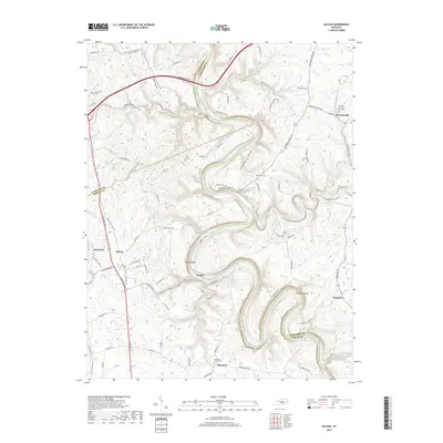
2019 Map of Salvisa
USGS Topo · Published 2019About this map
Kentucky River meanders sharply through the heart of this central Kentucky landscape, carving deep topographic relief into the borders of Anderson, Woodford, and Mercer counties. The sharp oxbows at Oregon Bend and Chapman Bend define the river's path, where the small river settlement of Oregon sits nestled along the banks. Further inland, the high ground is dotted with small communities and family burial grounds that anchor the local heritage, including Mortonsville, Salvisa, and Nonesuch. The transport network relies heavily on historical river crossings, evidenced by roads like Lillards Ferry Rd, McCowans Ferry Rd, and Scotts Ferry Rd. These routes connect the rural reaches to significant local landmarks such as The Polk Memorial Church Cem and Ebenezer Church Cem, preserving a legacy of early Bluegrass settlements and family homesteads.
Find a feature on this map
78 named features on this map. Tap any name to fly to it.
Don’t see what you’re looking for? This feature index may not catch every label — zoom into the map to look around manually.
Map Details
Editions of this 2019 Salvisa Map
This is the sole edition of this map. No revisions or reprints were ever made.
Other maps of this area

1905 · Harrodsburg
USGS Topo · 1:125,000

1906 · Georgetown
USGS Topo · 1:62,500

1908 · Georgetown
USGS Topo · 1:62,500

1922 · Frankfort
USGS Topo · 1:48,000

1924 · Frankfort
USGS Topo · 1:62,500

1951 · Lawrenceburg
USGS Topo · 1:24,000

1952 · Keene
USGS Topo · 1:24,000

1952 · Harrodsburg
USGS Topo · 1:24,000

1952 · Cornishville
USGS Topo · 1:24,000

1952 · Salvisa
USGS Topo · 1:24,000