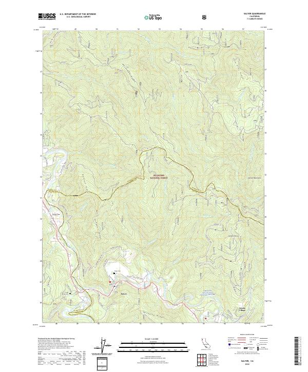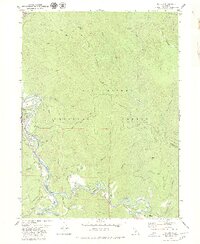
1979 Map of Salyer
USGS Topo · Published 1979About this map
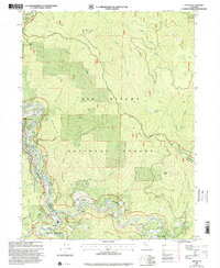
Trinity River and its major tributary, the South Fork Trinity River, converge in this mountain terrain within the Six Rivers National Forest. The 1970s landscape shows several small settlements concentrated along the water, including Willow Creek, Salyer, and Trinity Village. This era's infrastructure is marked by the presence of a Drive-in Theater near the river bend and the Salyer Work Center further upstream. Remote access is facilitated by the Friday Ridge Road and several Jeep Trails that traverse the steep elevations of Waterman Ridge and Lone Pine Ridge. Local life is anchored by family-named landmarks like Zeigler Point and Campbell Ridge, alongside signs of past industry including a scattered Mine and small cemeteries labeled Cem, reflecting a history of isolated riverside habitation and resource extraction.
Find a feature on this map
40 named features on this map. Tap any name to fly to it.
Don’t see what you’re looking for? This feature index may not catch every label — zoom into the map to look around manually.
Map Details
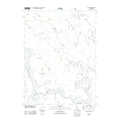
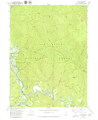
Editions of this 1979 Salyer Map
2 editions found
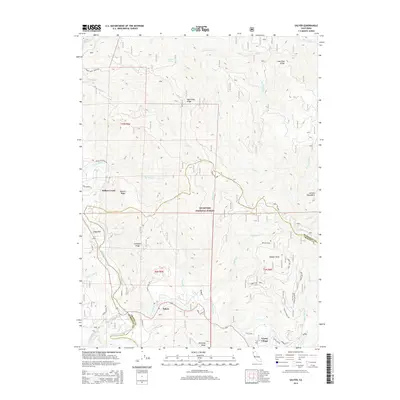
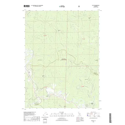
Historical Maps of Trinity Village Through Time
6 maps found