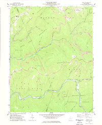
1977 Map of Samp
USGS Topo · Published 1977About this map
The high ridge lines of Point Mountain and Middle Fork Mountain dominate this West Virginia landscape along the boundary of Webster and Randolph Counties. This 1970s survey captures a transition between protected public lands and active industrial extraction. While the eastern edge is preserved within the Kumbrabow State Forest and Monongahela National Forest, several high-elevation Strip Mines mark the rugged interior peaks.
Find a feature on this map
55 named features on this map. Tap any name to fly to it.
Don’t see what you’re looking for? This feature index may not catch every label — zoom into the map to look around manually.
Map Details
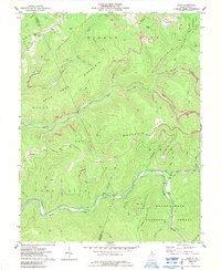
Editions of this 1977 Samp Map
2 editions found
Other maps of this area

1891 · Huntersville
USGS Topo · 1:125,000

1893 · Buckhannon
USGS Topo · 1:125,000

1894 · Huntersville
USGS Topo · 1:125,000

1896 · Buckhannon
USGS Topo · 1:125,000

1897 · Buckhannon
USGS Topo · 1:125,000

1913 · Hacker Valley
USGS Topo · 1:48,000

1913 · Pickens
USGS Topo · 1:48,000

1915 · Webster Springs
USGS Topo · 1:48,000

1915 · Hacker Valley
USGS Topo · 1:62,500

1915 · Pickens
USGS Topo · 1:62,500