
1961 Map of Sample
USGS Topo · Published 1963About this map
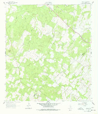
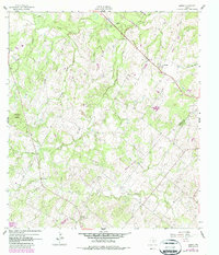
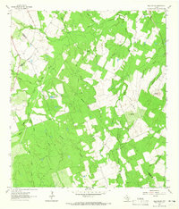
Sandies Creek and its many tributaries, including Elm Creek and Shoats Creek, define the rolling drainage patterns across the border of Gonzales and De Witt counties. The small settlement of Sample serves as the focal point of this rural landscape, situated along the Southern Pacific railroad line. For genealogists, the map identifies specific burial grounds like Sample Cem and Billings Cem, which provide clues to the families who settled this agricultural region. The terrain is marked by significant natural landmarks like Van Cleave Mound and industrial activity evidenced by a Quarry and Gravel Pits near the rail corridor. This 1961 survey captures the area before modern consolidation, showing the intricate network of unimproved roads and intermittent streams that dictated the layout of local farms and homesteads.
Find a feature on this map
20 named features on this map. Tap any name to fly to it.
Don’t see what you’re looking for? This feature index may not catch every label — zoom into the map to look around manually.
Map Details
Editions of this 1961 Sample Map
Other maps of this area

1920 · Smiley
USGS Topo · 1:125,000

1953 · Seguin
USGS Topo · 1:250,000

1958 · Seguin
USGS Topo · 1:250,000

1960 · Blackwell Lake
USGS Topo · 1:24,000

1960 · Cheapside
USGS Topo · 1:24,000

1960 · Westhoff
USGS Topo · 1:24,000
1961 · Pilgrim
USGS Topo · 1:24,000

1961 · New Davy
USGS Topo · 1:24,000
1962 · Smiley
USGS Topo · 1:24,000
1963 · Bald Mound
USGS Topo · 1:24,000