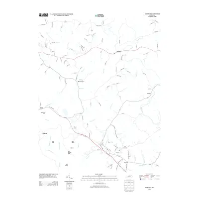
2013 Map of Samuels
USGS Topo · Published 2013About this map
Solitude and Brownington anchor the northern landscape of this Kentucky quadrangle, where the terrain transitions from the Salt River lowlands into a series of distinctive ridges and hollows. The rural character of the area is defined by its small settlements and family-named geography, such as Rice Orchard Ridge and Ashlock Hollow. Transportation and community hubs are centered around the southern portion of the map, notably at Deatsville and Samuels, which sit near the Saint Gregorys Cem.
Find a feature on this map
114 named features on this map. Tap any name to fly to it.
Don’t see what you’re looking for? This feature index may not catch every label — zoom into the map to look around manually.
Map Details
Editions of this 2013 Samuels Map
This is the sole edition of this map. No revisions or reprints were ever made.
Other maps of this area

1907 · Louisville
USGS Topo · 1:62,500

1929 · Taylorsville
USGS Topo · 1:62,500

1949 · Cravens
USGS Topo · 1:24,000

1949 · Shepherdsville
USGS Topo · 1:24,000

1949 · Samuels
USGS Topo · 1:24,000

1949 · Shepherdsville
USGS Topo · 1:62,500

1951 · Waterford
USGS Topo · 1:24,000
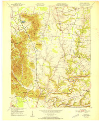
1951 · Brooks
USGS Topo · 1:24,000

1951 · Mount Washington
USGS Topo · 1:24,000
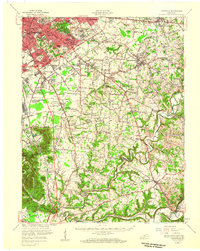
1951 · Louisville
USGS Topo · 1:62,500