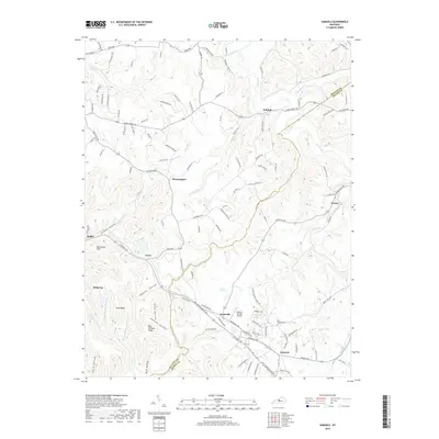
2019 Map of Samuels
USGS Topo · Published 2019About this map
The Salt River carves through the northern reaches of this landscape where the borders of Bullitt Co and Nelson Co meet. The area is defined by a network of rural settlements connected by winding roads and the R J Corman Railroad. In the southern half, Samuels and Deatsville sit near the Samuels Springs Airport, marking a hub of activity amidst the ridges and hollows. Local genealogy is anchored by sites like the Saint Gregory Cem located east of the rail line.
Find a feature on this map
120 named features on this map. Tap any name to fly to it.
Don’t see what you’re looking for? This feature index may not catch every label — zoom into the map to look around manually.
Map Details
Editions of this 2019 Samuels Map
This is the sole edition of this map. No revisions or reprints were ever made.
Other maps of this area

1907 · Louisville
USGS Topo · 1:62,500

1929 · Taylorsville
USGS Topo · 1:62,500

1949 · Cravens
USGS Topo · 1:24,000

1949 · Shepherdsville
USGS Topo · 1:24,000

1949 · Samuels
USGS Topo · 1:24,000

1949 · Shepherdsville
USGS Topo · 1:62,500

1951 · Waterford
USGS Topo · 1:24,000
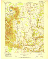
1951 · Brooks
USGS Topo · 1:24,000

1951 · Mount Washington
USGS Topo · 1:24,000
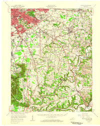
1951 · Louisville
USGS Topo · 1:62,500