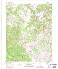
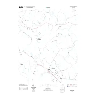
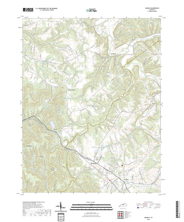
1962 Map of Samuels
USGS Topo · Published 1987About this map
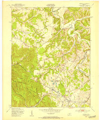
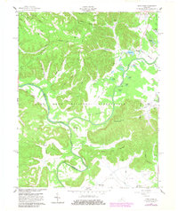
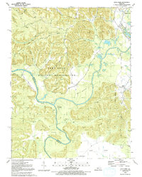
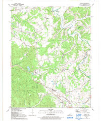
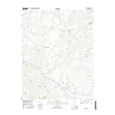
The Louisville and Nashville railroad serves as the primary industrial corridor for this portion of the Bluegrass region, threading through the rural communities of Deatsville and Samuels. The terrain is defined by the winding course of the Salt River in the north and the complex network of hollows and ridges such as Ashlock Hollow and Orchard Ridge to the south. A significant portion of the landscape is dedicated to Bernheim Forest, while the presence of St Gregorys Ch and its accompanying St Gregorys Sch suggests a established community center near Henpeck. The map also captures the transition from open agricultural land to the wooded slopes of Spicewood Flat, providing a clear record of land use before modern suburban expansion encroached on these traditional Kentucky settlements.
Find a feature on this map
40 named features on this map. Tap any name to fly to it.
Don’t see what you’re looking for? This feature index may not catch every label — zoom into the map to look around manually.
Map Details
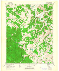
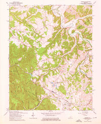
Editions of this 1962 Samuels Map
3 editions found
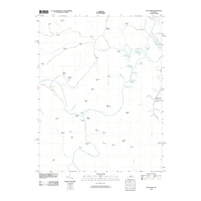
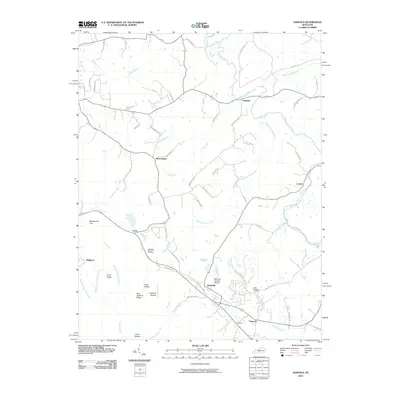
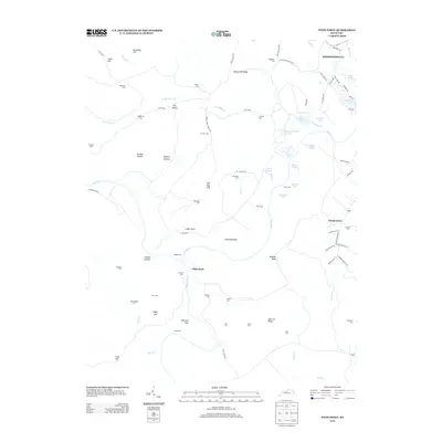
Historical Maps of Samuels Through Time
16 maps found
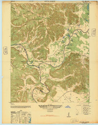
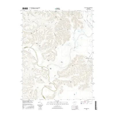
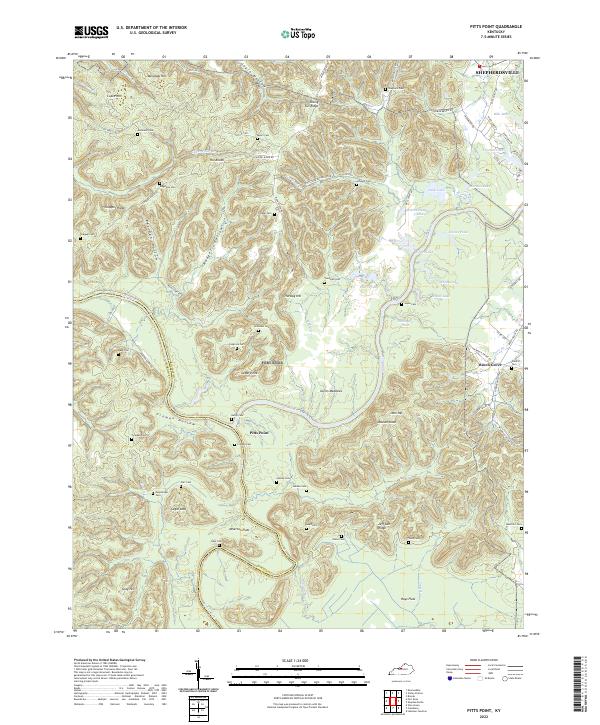
1946 Pitts Point
Bullitt County, KY
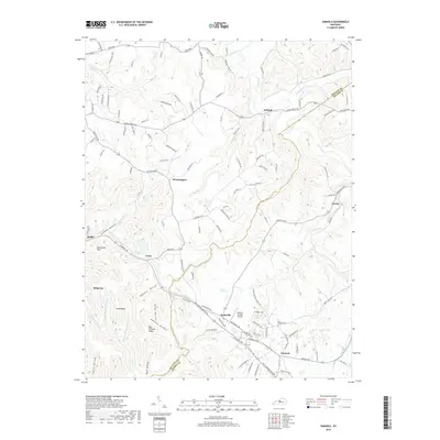
1949 Samuels
Bullitt County, KY
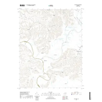
1960 Pitts Point
Bullitt County, KY
1962 Samuels
Bullitt County, KY
1991 Pitts Point
Bullitt County, KY
1991 Samuels
Bullitt County, KY
2010 Pitts Point
Bullitt County, KY
2010 Samuels
Bullitt County, KY
2013 Pitts Point
Bullitt County, KY
2013 Samuels
Bullitt County, KY
2016 Pitts Point
Bullitt County, KY
2016 Samuels
Bullitt County, KY
2019 Pitts Point
Bullitt County, KY
2019 Samuels
Bullitt County, KY
2022 Pitts Point
Bullitt County, KY
2022 Samuels
Bullitt County, KY