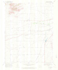
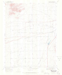
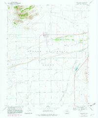
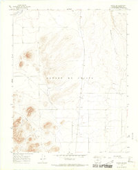
1967 Map of San Acacio
USGS Topo · Published 1971About this map
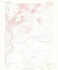
Sangre De Cristo Grant lands define this high-altitude landscape in southern Colorado, where agricultural life depends on a complex network of irrigation features. Settlement centers on San Acacio (BM 7731) and Viejo San Acacio, reflecting the area's deep history as one of the state's earliest inhabited districts. Water management is the primary imprint on the terrain, visible through the Culebra Eastdale Canal, the Stabilization Reservoir, and multiple stock ditches like San Acacio Stock Ditch No 1. The presence of the Old Railroad Grade and a Landing Strip suggests the transition from early rail-based transport to more modern rural infrastructure. For genealogists, the Old Town Cem and various family-named sites provide critical points of interest in this San Luis Valley setting, characterized by the stark contrast between the San Luis Hills and the cultivated valley floor along Culebra Creek.
Find a feature on this map
16 named features on this map. Tap any name to fly to it.
Don’t see what you’re looking for? This feature index may not catch every label — zoom into the map to look around manually.
Map Details
Editions of this 1967 San Acacio Map
3 editions found
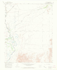
Other maps of this area

1954 · Trinidad
USGS Topo · 1:250,000

1955 · Trinidad
USGS Topo · 1:250,000

1958 · Trinidad
USGS Topo · 1:250,000

1959 · Trinidad
USGS Topo · 1:250,000
1965 · Lasauses
USGS Topo · 1:24,000
1965 · Blanca SE
USGS Topo · 1:24,000
1967 · San Luis
USGS Topo · 1:24,000
1967 · Fort Garland SW
USGS Topo · 1:24,000
1967 · Sky Valley Ranch
USGS Topo · 1:24,000
1967 · Mesito Reservoir
USGS Topo · 1:24,000