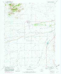
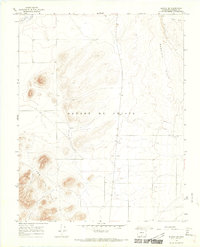
1967 Map of San Acacio
USGS Topo · Published 1982About this map
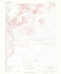
The Sangre De Cristo Grant anchors this 1967 survey of a high-altitude agricultural landscape defined by its intricate water management. The settlement of San Acacio and the nearby Viejo San Acacio are surrounded by a complex network of man-made waterways, including the San Acacio Stock Ditch No 1 and Eastdale Canal, which divert the flow of Culebra Creek to sustain the local ranching and farming economy. To the north, the San Luis Hills rise above the basin, marked by a Jeep Trail and the path of the Old Railroad Grade. This cartographic record captures the transition from historic land grant boundaries to mid-century infrastructure, featuring a Landing Strip and the Stabilization Reservoir in an area where water rights and topography are inextricably linked.
Find a feature on this map
19 named features on this map. Tap any name to fly to it.
Don’t see what you’re looking for? This feature index may not catch every label — zoom into the map to look around manually.
Map Details
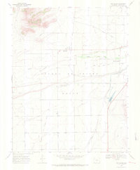
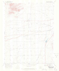
Editions of this 1967 San Acacio Map
3 editions found
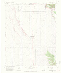
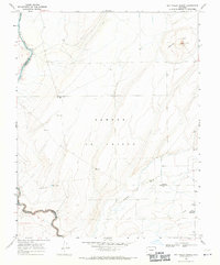
Other maps of this area

1954 · Trinidad
USGS Topo · 1:250,000

1955 · Trinidad
USGS Topo · 1:250,000

1958 · Trinidad
USGS Topo · 1:250,000

1959 · Trinidad
USGS Topo · 1:250,000
1965 · Lasauses
USGS Topo · 1:24,000
1965 · Blanca SE
USGS Topo · 1:24,000
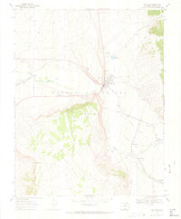
1967 · San Luis
USGS Topo · 1:24,000
1967 · Fort Garland SW
USGS Topo · 1:24,000
1967 · Sky Valley Ranch
USGS Topo · 1:24,000
1967 · Mesito Reservoir
USGS Topo · 1:24,000