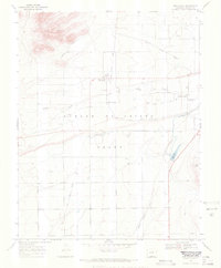
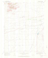
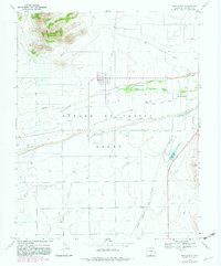
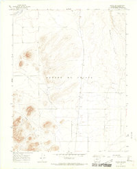
1967 Map of San Acacio
USGS Topo · Published 1971About this map
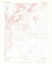
Sangre De Cristo Grant dominates this 1960s landscape, illustrating the enduring agricultural and land-tenure patterns of the San Luis Valley. The map captures the small community of San Acacio alongside the older settlement at Viejo San Acacio, revealing how irrigation infrastructure shaped life in this arid basin. A complex network of water management features, including the Old Town Canal, San Acacio Stock Ditch, and Stabilization Reservoir, highlights the critical role of Culebra Creek in supporting local livestock and farming.
Find a feature on this map
20 named features on this map. Tap any name to fly to it.
Don’t see what you’re looking for? This feature index may not catch every label — zoom into the map to look around manually.
Map Details
Editions of this 1967 San Acacio Map
3 editions found
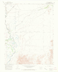
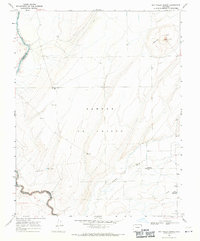
Other maps of this area

1954 · Trinidad
USGS Topo · 1:250,000

1955 · Trinidad
USGS Topo · 1:250,000

1958 · Trinidad
USGS Topo · 1:250,000

1959 · Trinidad
USGS Topo · 1:250,000
1965 · Lasauses
USGS Topo · 1:24,000
1965 · Blanca SE
USGS Topo · 1:24,000
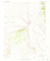
1967 · San Luis
USGS Topo · 1:24,000
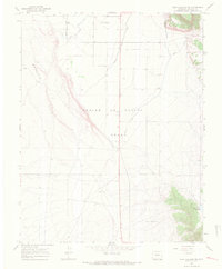
1967 · Fort Garland SW
USGS Topo · 1:24,000
1967 · Sky Valley Ranch
USGS Topo · 1:24,000
1967 · Mesito Reservoir
USGS Topo · 1:24,000