
1954 Map of San Antonio
USGS Topo · Published 1955About this map
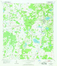
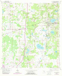
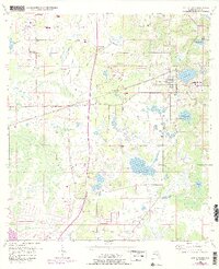
San Antonio and the neighboring community of St Leo anchor this mid-century survey of eastern Pasco County. The landscape is defined by a dense network of water bodies and wetlands, ranging from larger basins like Clear Lake and King Lake to the scattered depressions of Bird Island Lakes and Dick Lake. This period captures the area's agricultural and religious character, marked by numerous rural landmarks such as Amelia Ch and Alliance Ch, alongside the Emmaus Cem and Holden Cem. The transit infrastructure is centered on the Atlantic Coast Line railroad, which cuts through the settlement of Pasco and winds past Thomas Prairie. To the north, the small community of Darby sits near a complex drainage system including Cypress Spring and Bee Tree Branch, illustrating the intricate hydrology that influenced the development of these Florida settlements.
Find a feature on this map
25 named features on this map. Tap any name to fly to it.
Don’t see what you’re looking for? This feature index may not catch every label — zoom into the map to look around manually.
Map Details
Editions of this 1954 San Antonio Map
4 editions found
Other maps of this area

1943 · Lutz
USGS Topo · 1:24,000

1944 · Wesley Chapel
USGS Topo · 1:31,680

1944 · Lutz
USGS Topo · 1:31,680

1947 · Zephyrhills
USGS Topo · 1:24,000

1954 · Spring Lake
USGS Topo · 1:24,000

1954 · Ehren
USGS Topo · 1:24,000

1954 · Masaryktown
USGS Topo · 1:24,000

1955 · Plant City
USGS Topo · 1:250,000

1958 · Plant City
USGS Topo · 1:250,000

1959 · Plant City
USGS Topo · 1:250,000