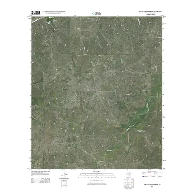
2012 Map of San Augustine Draw
USGS Topo · Published 2012About this map
San Augustines Springs and the headwaters of San Augustine Draw characterize this West Texas landscape in the Edwards Plateau region. The drainage patterns here are defined by several seasonal and perennial waterways, including the San Saba River in the northwest and the winding course of W Las Moras Cr to the south. This terrain is largely dedicated to ranching and agricultural operations, as evidenced by the prominence of the Womack Ranch and its associated private airport.
Find a feature on this map
15 named features on this map. Tap any name to fly to it.
Don’t see what you’re looking for? This feature index may not catch every label — zoom into the map to look around manually.
Map Details
Editions of this 2012 San Augustine Draw Map
This is the sole edition of this map. No revisions or reprints were ever made.
Other maps of this area

1893 · Fort McKavett
USGS Topo · 1:125,000

1954 · Llano
USGS Topo · 1:250,000

1954 · Sonora
USGS Topo · 1:250,000

1955 · Llano
USGS Topo · 1:250,000

1956 · Llano
USGS Topo · 1:250,000

1958 · Sonora
USGS Topo · 1:250,000

1963 · McKegan Draw NE
USGS Topo · 1:24,000

1970 · Clear Creek Lake
USGS Topo · 1:24,000

1970 · San Augustine Draw
USGS Topo · 1:24,000

1970 · Julio Draw
USGS Topo · 1:24,000