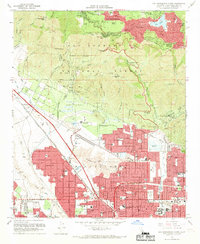
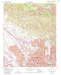
1967 Map of San Bernardino North
USGS Topo · Published 1969About this map
San Bernardino anchors the lower half of this late-1960s landscape, illustrating a period of rapid institutional and residential growth. The arrival of California State College San Bernardino at the base of the Shandin Hills marks a significant expansion of the city's academic footprint, while the dense grid of neighborhoods like Muscoy and Rialto shows the post-war suburban development pressing toward the mountains. A complex network of rails including the Atchison Topeka and Santa Fe and Southern Pacific indicates the area's continued importance as a transportation hub.
Find a feature on this map
73 named features on this map. Tap any name to fly to it.
Don’t see what you’re looking for? This feature index may not catch every label — zoom into the map to look around manually.
Map Details
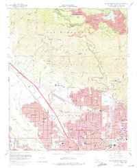
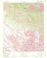
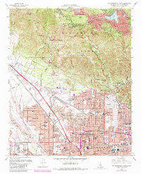
Editions of this 1967 San Bernardino North Map
5 editions found
Other maps of this area

1896 · San Bernardino
USGS Topo · 1:62,500

1898 · San Bernardino
USGS Topo · 1:62,500

1899 · Redlands
USGS Topo · 1:62,500

1901 · Southern California Sheet No. 1
USGS Topo · 1:250,000

1901 · San Bernardino
USGS Topo · 1:62,500

1901 · Redlands
USGS Topo · 1:62,500

1902 · Deep Creek
USGS Topo · 1:62,500

1902 · Hesperia
USGS Topo · 1:62,500

1904 · Southern California Sheet No. 1
USGS Topo · 1:250,000

1936 · Devore
USGS Topo · 1:31,680