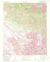
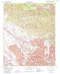
1967 Map of San Bernardino North
USGS Topo · Published 1980About this map
San Bernardino National Forest dominates the northern half of this landscape, where the steep terrain of the San Bernardino Mountains meets the rapidly expanding urban footprint of the valley below. High-altitude mountain communities like Crestline, Valley of Enchantment, and Cedarpines Park surround Gregory Lake, serving as a stark contrast to the dense residential and educational grids of the south. This 1980 revision reflects significant institutional growth, anchored by the campus of California State College San Bernardino and numerous parochial and public institutions such as Holy Rosary Academy and San Bernardino High Sch. The mapping detail captures the industrial and transportation arteries that fueled the region, including the Atchison Topeka and Santa Fe Railroad and the Southern Pacific Railroad, which navigate the wash of Lytle Creek and the pass at Verdemont.
Find a feature on this map
72 named features on this map. Tap any name to fly to it.
Don’t see what you’re looking for? This feature index may not catch every label — zoom into the map to look around manually.
Map Details
Editions of this 1967 San Bernardino North Map
5 editions found
Other maps of this area

1896 · San Bernardino
USGS Topo · 1:62,500

1898 · San Bernardino
USGS Topo · 1:62,500

1899 · Redlands
USGS Topo · 1:62,500

1901 · Southern California Sheet No. 1
USGS Topo · 1:250,000

1901 · San Bernardino
USGS Topo · 1:62,500

1901 · Redlands
USGS Topo · 1:62,500

1902 · Deep Creek
USGS Topo · 1:62,500

1902 · Hesperia
USGS Topo · 1:62,500

1904 · Southern California Sheet No. 1
USGS Topo · 1:250,000

1936 · Devore
USGS Topo · 1:31,680