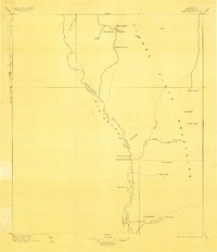
1896 Map of San Carlos
USGS Topo · Published 1903About this map
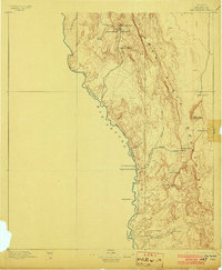
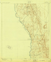
The Rio Grande forms the defining international border in this 1895 survey of the West Texas frontier, tracing the sharp divide between Texas and Chihuahua. The landscape is dominated by the massive ridge of the Tierra Vieja Mountains, where life is dictated by the scarce presence of water. Isolated outposts and family-named cattle operations like Bright's Ranch, Cienega Ranch, and Capote Ranch anchor the high desert, positioned near essential water sources such as Mexican Spring and Nixon Spring.
Find a feature on this map
29 named features on this map. Tap any name to fly to it.
Don’t see what you’re looking for? This feature index may not catch every label — zoom into the map to look around manually.
Map Details
Editions of this 1896 San Carlos Map
5 editions found
Other maps of this area

1892 · Chispa
USGS Topo · 1:125,000

1894 · Valentine
USGS Topo · 1:125,000

1895 · Chispa
USGS Topo · 1:125,000

1895 · Marfa
USGS Topo · 1:125,000

1896 · Ruidosa
USGS Topo · 1:125,000

1896 · San Carlos
USGS Topo · 1:125,000

1896 · Shafter
USGS Topo · 1:125,000

1897 · Valentine
USGS Topo · 1:125,000

1897 · Eagle Mountain
USGS Topo · 1:125,000

1897 · Chispa
USGS Topo · 1:125,000