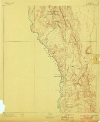
1896 Map of San Carlos
USGS Topo · Published 1903About this map
Rio Grande waters define the international boundary in this 1895 survey of the West Texas frontier. The landscape is dominated by the massive Sierra Vieja and the Capote Mountains, where high peaks like Gettysburg Peak and Capote Peak tower over a network of canyons and springs. Settlement is sparse and follows the essential water sources, evidenced by clusters at San Carlos and San Antonio.
Find a feature on this map
28 named features on this map. Tap any name to fly to it.
Don’t see what you’re looking for? This feature index may not catch every label — zoom into the map to look around manually.
Map Details
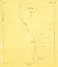
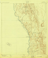
Editions of this 1896 San Carlos Map
5 editions found
Other maps of this area

1892 · Chispa
USGS Topo · 1:125,000

1894 · Valentine
USGS Topo · 1:125,000

1895 · Chispa
USGS Topo · 1:125,000

1895 · Marfa
USGS Topo · 1:125,000

1896 · Ruidosa
USGS Topo · 1:125,000

1896 · San Carlos
USGS Topo · 1:125,000

1896 · Shafter
USGS Topo · 1:125,000

1897 · Valentine
USGS Topo · 1:125,000

1897 · Eagle Mountain
USGS Topo · 1:125,000

1897 · Chispa
USGS Topo · 1:125,000