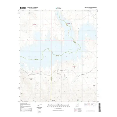
2014 Map of San Carlos Reservoir
USGS Topo · Published 2014About this map
San Carlos Reservoir dominates this landscape where the borders of Pinal, Graham, and Gila counties converge. The reservoir, fed by the San Carlos River and Apache Wash, is surrounded by dramatic vertical relief including Flatiron Mesa to the north and the peaks of Mt Geronimo and Rockhouse Mtn to the south. This 2014 survey reveals the importance of water management in the arid corridor, marked by a series of vital sources such as Wire Corral Spring, Quail Spring, and Cottonwood Spring.
Find a feature on this map
35 named features on this map. Tap any name to fly to it.
Don’t see what you’re looking for? This feature index may not catch every label — zoom into the map to look around manually.
Map Details
Editions of this 2014 San Carlos Reservoir Map
This is the sole edition of this map. No revisions or reprints were ever made.
Other maps of this area

1915 · Christmas
USGS Topo · 1:62,500

1917 · Christmas
USGS Topo · 1:62,500

1954 · Mesa
USGS Topo · 1:250,000

1957 · Mesa
USGS Topo · 1:250,000

1958 · Mesa
USGS Topo · 1:250,000

1960 · Mesa
USGS Topo · 1:250,000

1962 · San Carlos Reservoir
USGS Topo · 1:62,500

1964 · Mesa
USGS Topo · 1:250,000

1965 · Bucket Mtn
USGS Topo · 1:24,000
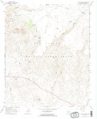
1966 · Mount Triplet
USGS Topo · 1:24,000