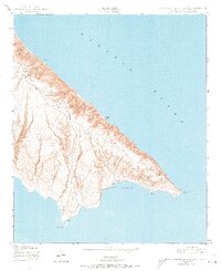
1943 Map of San Clemente Island South
USGS Topo · Published 1973About this map
China Point and the southern extremities of San Clemente Island are documented here in a detailed wartime survey from 1943. This map, produced by the Corps of Engineers, captures the isolation and strategic coastal topography of the area during the Second World War. Steep coastal cliffs drop toward the Pacific Ocean, framing landmarks like the Lighthouse and the sheltered waters of Pyramid Cove. The lack of inland development at this date emphasizes the island's primary role as a military and maritime observation point. Notable terrain features such as Pyramid Head and White Rock define the jagged shoreline, while Mosquito Cove provides one of the few named inlets on the eastern coast. This survey provides a precise look at the island's natural contours and essential navigation aids before later developments altered the landscape.
Find a feature on this map
7 named features on this map. Tap any name to fly to it.
Don’t see what you’re looking for? This feature index may not catch every label — zoom into the map to look around manually.
Map Details
Editions of this 1943 San Clemente Island South Map
5 editions found
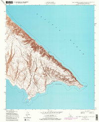
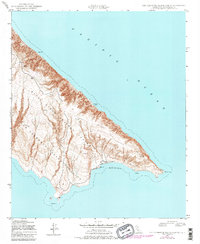
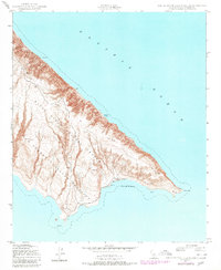
Other maps of this area
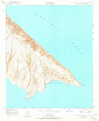
1943 · San Clemente Island South
USGS Topo · 1:24,000

1943 · San Clemente Island Central
USGS Topo · 1:24,000

1950 · San Clemente Island Central
USGS Topo · 1:24,000
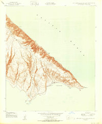
1950 · San Clemente Island South
USGS Topo · 1:24,000

1957 · San Clemente Island
USGS Topo · 1:250,000

1980 · San Clemente Island
USGS Topo · 1:100,000
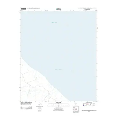
2012 · San Clemente Island Central OE E
USGS Topo · 1:24,000
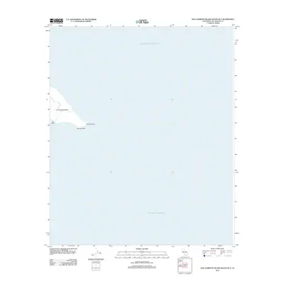
2012 · San Clemente Island South OE E
USGS Topo · 1:24,000
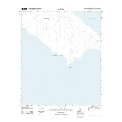
2012 · San Clemente Island South
USGS Topo · 1:24,000
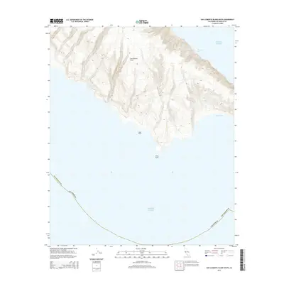
2015 · San Clemente Island South
USGS Topo · 1:24,000