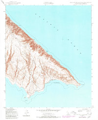
1943 Map of San Clemente Island South
USGS Topo · Published 1980About this map
The southern tip of San Clemente Island is dominated by the Naval Ocean Systems Center San Clemente Island Facility, a site that highlights the strategic military importance of this Channel Island. Topography from 1943 reveals a coastline defined by dramatic elevation changes and isolated maritime landmarks, including a Lighthouse perched near the southeastern extremity. The island's perimeter is marked by distinct geographical features such as China Point to the south and the sheltering waters of Pyramid Cove and Mosquito Cove along the eastern shore. This document captures the transition of the island from its early 1940s topography to later 20th-century revisions, preserving the locations of critical navigational aids like Pyramid Head and White Rock during an era of significant naval presence.
Find a feature on this map
8 named features on this map. Tap any name to fly to it.
Don’t see what you’re looking for? This feature index may not catch every label — zoom into the map to look around manually.
Map Details
Editions of this 1943 San Clemente Island South Map
5 editions found
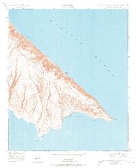
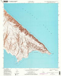
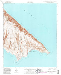
Other maps of this area
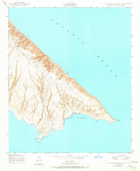
1943 · San Clemente Island South
USGS Topo · 1:24,000

1943 · San Clemente Island Central
USGS Topo · 1:24,000

1950 · San Clemente Island Central
USGS Topo · 1:24,000
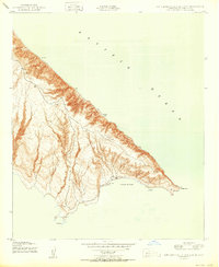
1950 · San Clemente Island South
USGS Topo · 1:24,000

1957 · San Clemente Island
USGS Topo · 1:250,000

1980 · San Clemente Island
USGS Topo · 1:100,000
2012 · San Clemente Island Central OE E
USGS Topo · 1:24,000
2012 · San Clemente Island South OE E
USGS Topo · 1:24,000
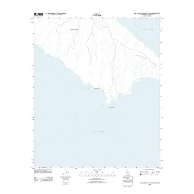
2012 · San Clemente Island South
USGS Topo · 1:24,000
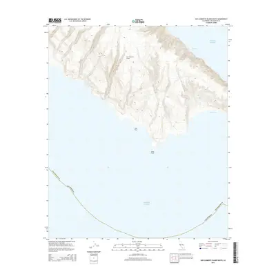
2015 · San Clemente Island South
USGS Topo · 1:24,000