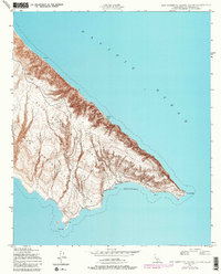
1943 Map of San Clemente Island South
USGS Topo · Published 1980About this map
The southern reaches of San Clemente Island are dominated by the Naval Ocean Systems Center San Clemente Island Facility, a major military presence on this offshore territory. Mapped originally in 1943 during the war and later photorevised to show modern naval infrastructure, the landscape terminates at the sharp profile of Pyramid Head and the sheltering curve of Pyramid Cove. These coastal features, along with China Point at the southwestern tip, reveal a coastline defined by deep indentations like Mosquito Cove and isolated landmarks such as the Lighthouse. The transition from the steep inland topography to the Pacific Ocean is marked by named navigational hazards, including White Rock and Rock 12, illustrating the island's dual role as a strategic outpost and a maritime waypoint.
Find a feature on this map
9 named features on this map. Tap any name to fly to it.
Don’t see what you’re looking for? This feature index may not catch every label — zoom into the map to look around manually.
Map Details
Editions of this 1943 San Clemente Island South Map
5 editions found
Other maps of this area
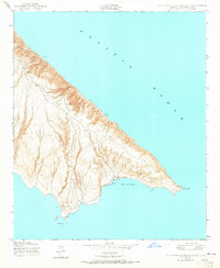
1943 · San Clemente Island South
USGS Topo · 1:24,000

1943 · San Clemente Island Central
USGS Topo · 1:24,000

1950 · San Clemente Island Central
USGS Topo · 1:24,000
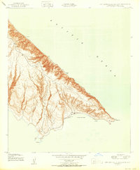
1950 · San Clemente Island South
USGS Topo · 1:24,000

1957 · San Clemente Island
USGS Topo · 1:250,000

1980 · San Clemente Island
USGS Topo · 1:100,000
2012 · San Clemente Island Central OE E
USGS Topo · 1:24,000
2012 · San Clemente Island South OE E
USGS Topo · 1:24,000
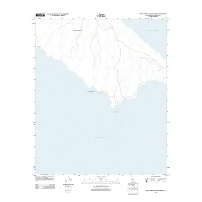
2012 · San Clemente Island South
USGS Topo · 1:24,000
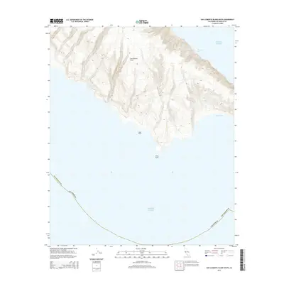
2015 · San Clemente Island South
USGS Topo · 1:24,000