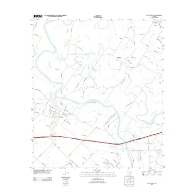
2013 Map of San Felipe
USGS Topo · Published 2013About this map
The Brazos River carves a winding path through this Austin County landscape, anchoring the historic town of San Felipe. This area, significant for its early Texas settlement history, is shown here as a patchwork of agricultural land and rural homesteads. Numerous family and local burial grounds, such as Rosses Cem, Waller Cem, and Frydek Cem, are scattered across the terrain, providing essential landmarks for genealogical research.
Find a feature on this map
110 named features on this map. Tap any name to fly to it.
Don’t see what you’re looking for? This feature index may not catch every label — zoom into the map to look around manually.
Map Details
Editions of this 2013 San Felipe Map
This is the sole edition of this map. No revisions or reprints were ever made.
Other maps of this area

1950 · Houston
USGS Topo · 1:250,000

1953 · Seguin
USGS Topo · 1:250,000

1955 · Brookshire
USGS Topo · 1:62,500

1955 · Richmond
USGS Topo · 1:62,500

1956 · Sealy
USGS Topo · 1:62,500

1956 · Wallis
USGS Topo · 1:62,500

1956 · Houston
USGS Topo · 1:250,000

1958 · Seguin
USGS Topo · 1:250,000

1960 · Wallis
USGS Topo · 1:24,000

1960 · San Felipe
USGS Topo · 1:24,000