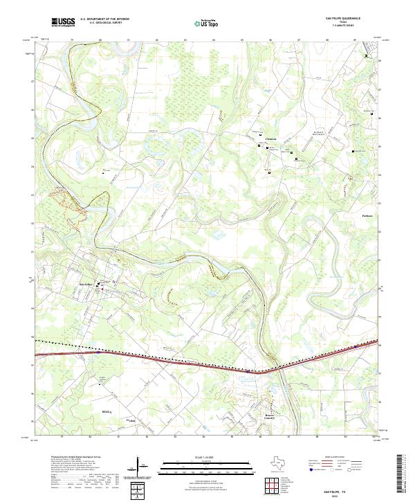
2022 Map of San Felipe
USGS Topo · Published 2022About this map
The Brazos River creates a meandering border between Austin Co and Waller Co, defining the agricultural and historical landscape of this region. Near its banks lies San Felipe, a settlement deeply tied to early Texas history, where the San Felipe de Austin Cem serves as a silent witness to the area's pioneer past. The presence of an Oxbow and the nearby Mound Lake indicate the river's shifting path over centuries, while the surrounding prairie is dotted with family cemeteries such as Ross Cem and Edwin Waller Cem.
Find a feature on this map
110 named features on this map. Tap any name to fly to it.
Don’t see what you’re looking for? This feature index may not catch every label — zoom into the map to look around manually.
Map Details
Editions of this 2022 San Felipe Map
This is the sole edition of this map. No revisions or reprints were ever made.
Other maps of this area

1950 · Houston
USGS Topo · 1:250,000

1953 · Seguin
USGS Topo · 1:250,000

1955 · Brookshire
USGS Topo · 1:62,500

1955 · Richmond
USGS Topo · 1:62,500

1956 · Sealy
USGS Topo · 1:62,500

1956 · Wallis
USGS Topo · 1:62,500

1956 · Houston
USGS Topo · 1:250,000

1958 · Seguin
USGS Topo · 1:250,000

1960 · Wallis
USGS Topo · 1:24,000

1960 · San Felipe
USGS Topo · 1:24,000