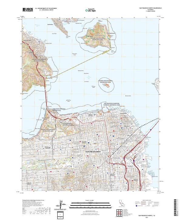
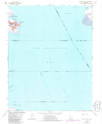
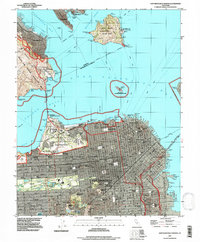
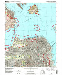
2021 Map of San Francisco North
USGS Topo · Published 2021This historical map portrays the area of San Francisco North in 2021, primarily covering San Francisco as well as portions of Marin County. Featuring a scale of 1:24000, this map provides a highly detailed snapshot of the terrain, roads, buildings, counties, and historical landmarks in the San Francisco North region at the time. Published in 2021, it is the sole known edition of this map.
Map Details
Editions of this 2021 San Francisco North Map
This is the sole edition of this map. No revisions or reprints were ever made.
Historical Maps of Marin County Through Time
17 maps found
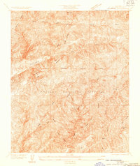
1932 La Brun
San Francisco County, CA

1937 San Francisquito
San Francisco County, CA
1947 San Francisco North
San Francisco County, CA
1950 San Francisco North
San Francisco County, CA
1956 Hunters Point
San Francisco County, CA
1956 San Francisco North
San Francisco County, CA
1985 Farallon Islands
San Francisco County, CA
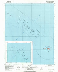
1988 Farallon Islands
San Francisco County, CA
1993 Farallon Islands
San Francisco County, CA
1993 Hunters Point
San Francisco County, CA
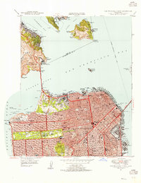
1993 San Francisco North
San Francisco County, CA
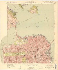
1995 San Francisco North
San Francisco County, CA
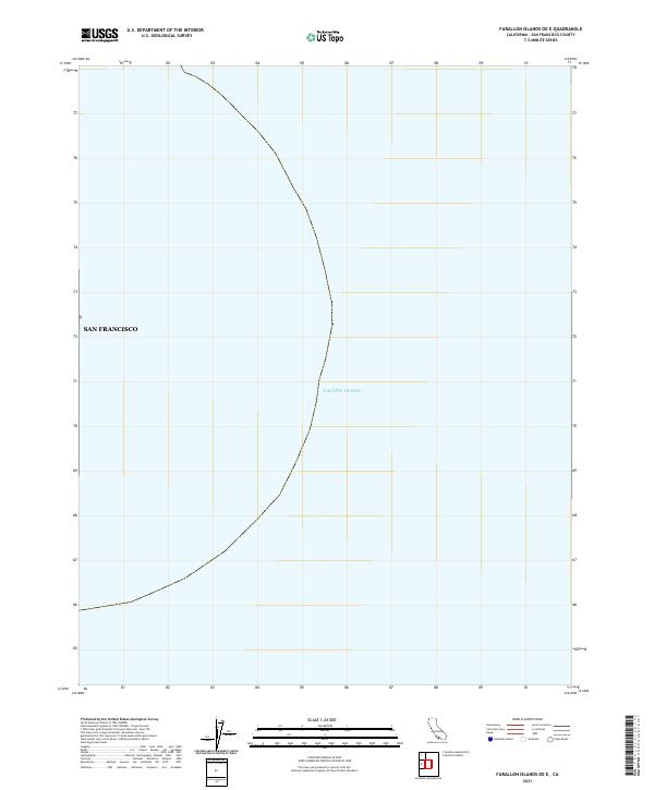
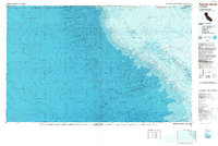
2021 Farallon Islands OE E
San Francisco County, CA
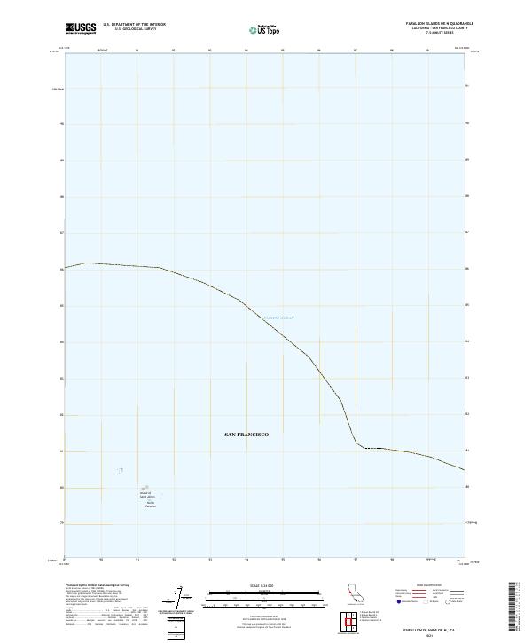
2021 Farallon Islands OE N
San Francisco County, CA
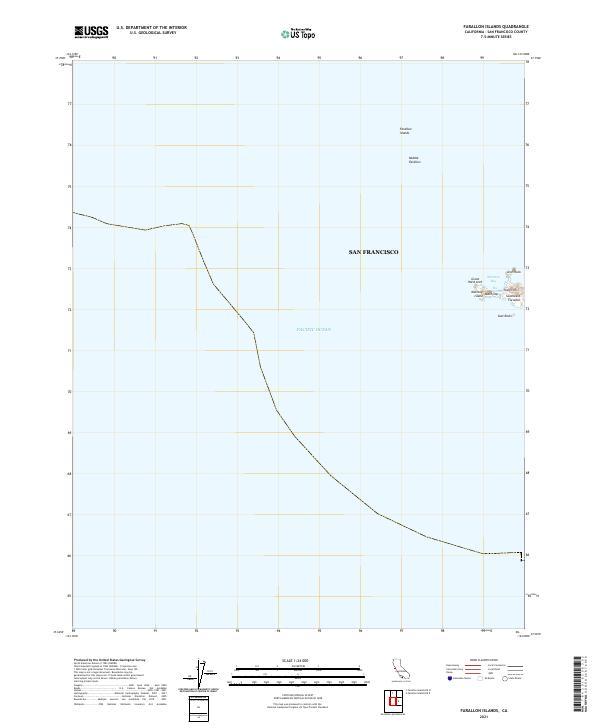
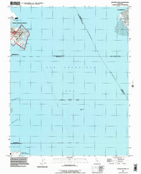
2021 Farallon Islands
San Francisco County, CA
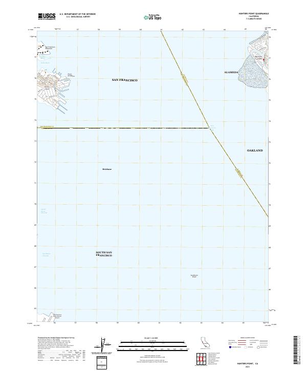
2021 Hunters Point
San Francisco County, CA
2021 San Francisco North
San Francisco County, CA