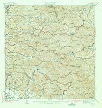
1966 Map of San German
USGS Topo · Published 1984About this map
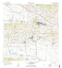
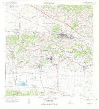
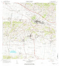
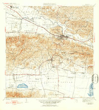
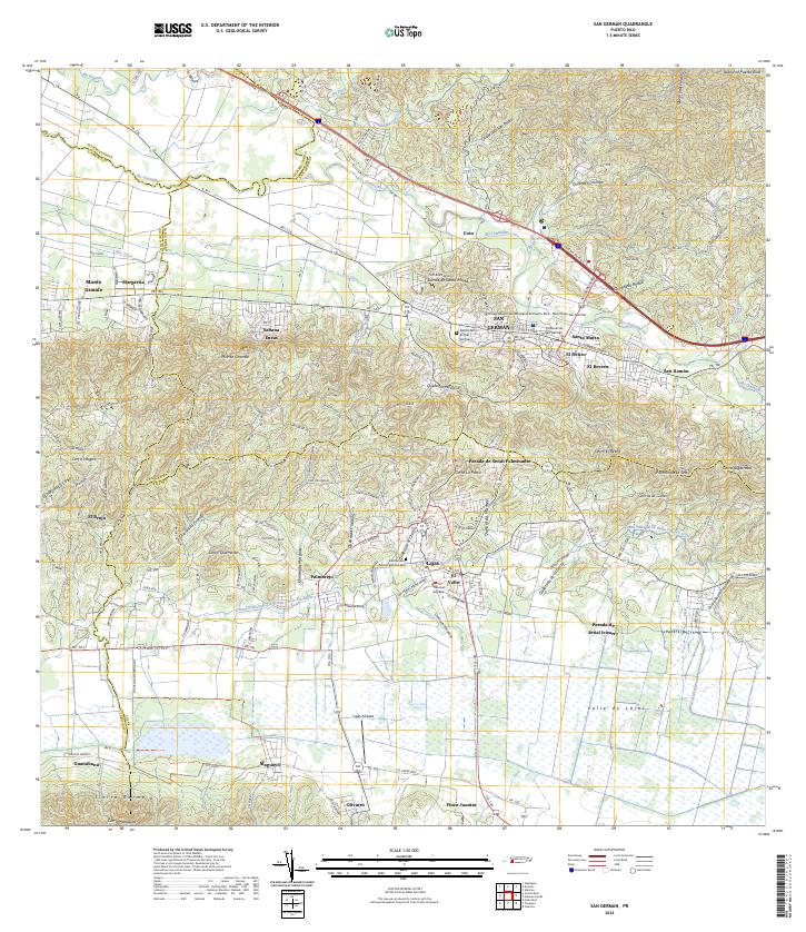
San Germán serves as the cultural and urban heart of this 1966 topographic study, characterized by its dense network of educational institutions and the prominent campus of the Universidad Interamericana. The landscape transitions from the developed city center into a series of agricultural valleys and distinctive hill formations, with the southern portion dominated by the waters of Laguna Cartagena. Evidence of the region's historic hacienda system is widespread, with sites such as Hacienda Desengaño, Hacienda Beatriz Soledad, and Hacienda Luisa dotting the valley floor. The infrastructure of the era is recorded through features like the Antigua Via Ferrocarril and the Pista de Aterrizaje near Olivares. From the industrial operations at Central Eureka to the numerous local schools like Escuela Padre Rufo, the map documents a community deeply rooted in its local geography and history.
Find a feature on this map
118 named features on this map. Tap any name to fly to it.
Don’t see what you’re looking for? This feature index may not catch every label — zoom into the map to look around manually.
Map Details
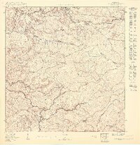
Editions of this 1966 San German Map
4 editions found
Historical Maps of San Germán Through Time
17 maps found

1937 San German
San Germán Municipio, PR

1941 Rosario
San Germán Municipio, PR
1941 San German
San Germán Municipio, PR
1942 Rosario
San Germán Municipio, PR
1950 Rosario SE
San Germán Municipio, PR
1950 San German NE
San Germán Municipio, PR

1950 San German NO
San Germán Municipio, PR

1955 Rosario
San Germán Municipio, PR

1957 San German
San Germán Municipio, PR

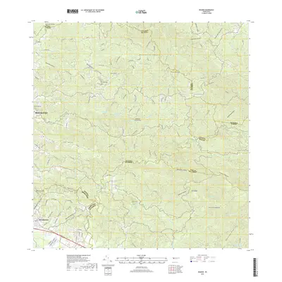
1964 Rosario
San Germán Municipio, PR
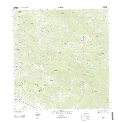
1966 San German
San Germán Municipio, PR
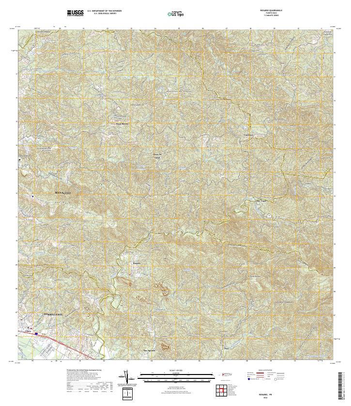
2013 Rosario
San Germán Municipio, PR
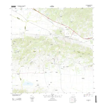
2013 San German
San Germán Municipio, PR
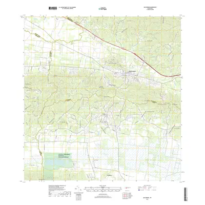
2018 Rosario
San Germán Municipio, PR
2018 San German
San Germán Municipio, PR
2024 Rosario
San Germán Municipio, PR
2024 San German
San Germán Municipio, PR
Featured Locations
- San Germán, San Germán
- Sector La Panchita, San Germán
- Palo Solo, San Germán
- Lajas, Lajas
- Sector Los Pardos, Lajas