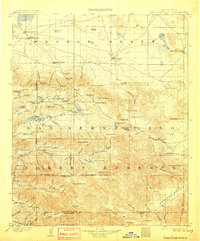
1902 Map of San Gorgonio
USGS Topo · Published 1906About this map
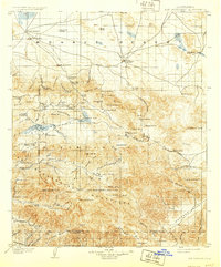
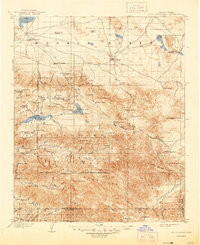
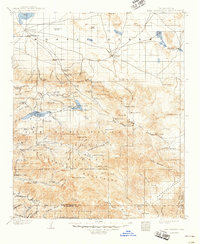
The San Bernardino Forest Reserve dominates this high-altitude landscape at the turn of the century, revealing a wilderness in transition between mining booms and early mountain recreation. Industrial footprints are evident at the Rose Mine and Lakeview Mill, while the settlement of Doble sits near the shores of Baldwin Lake. The presence of numerous family-named outposts like Clarks Ranch, Smarts Ranch, and Skinners Camp suggests a geography of isolated homesteads and seasonal livestock camps.
Find a feature on this map
70 named features on this map. Tap any name to fly to it.
Don’t see what you’re looking for? This feature index may not catch every label — zoom into the map to look around manually.
Map Details
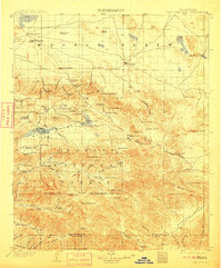
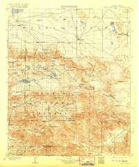
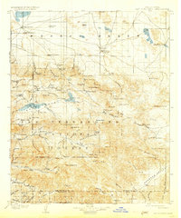
Editions of this 1902 San Gorgonio Map
8 editions found
Other maps of this area

1899 · Redlands
USGS Topo · 1:62,500

1901 · Southern California Sheet No. 1
USGS Topo · 1:250,000

1901 · San Jacinto
USGS Topo · 1:125,000

1901 · Redlands
USGS Topo · 1:62,500

1901 · Elsinore
USGS Topo · 1:125,000

1902 · Deep Creek
USGS Topo · 1:62,500

1902 · San Gorgonio
USGS Topo · 1:125,000

1904 · Southern California Sheet No. 1
USGS Topo · 1:250,000

1932 · Barstow
USGS Topo · 1:125,000

1934 · Barstow
USGS Topo · 1:125,000