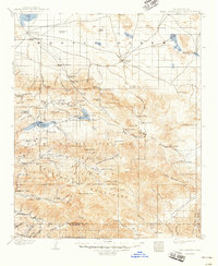
1902 Map of San Gorgonio
USGS Topo · Published 1948About this map
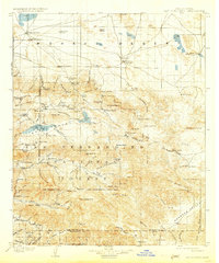
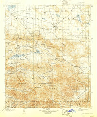
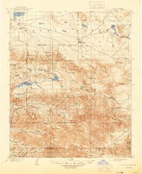
Rose Mine and Lakeview Mill anchor the industrial landscape of the San Bernardino Mountains during this 1899 survey period, reflecting the era's intensive mineral exploration. High-altitude mining activity is centered around Gold Mt. and the settlement of Doble, while the northern portion of the sheet reveals a stark transition into the Mojave Desert. This arid expanse is punctuated by essential water sources for cattle and travelers, including Rabbit Springs, Old Woman Springs, and Means Wells.
Find a feature on this map
114 named features on this map. Tap any name to fly to it.
Don’t see what you’re looking for? This feature index may not catch every label — zoom into the map to look around manually.
Map Details
Editions of this 1902 San Gorgonio Map
8 editions found
Other maps of this area

1899 · Redlands
USGS Topo · 1:62,500

1901 · Southern California Sheet No. 1
USGS Topo · 1:250,000

1901 · San Jacinto
USGS Topo · 1:125,000

1901 · Redlands
USGS Topo · 1:62,500

1901 · Elsinore
USGS Topo · 1:125,000

1902 · Deep Creek
USGS Topo · 1:62,500

1902 · San Gorgonio
USGS Topo · 1:125,000

1904 · Southern California Sheet No. 1
USGS Topo · 1:250,000

1932 · Barstow
USGS Topo · 1:125,000

1934 · Barstow
USGS Topo · 1:125,000