
1902 Map of San Gorgonio
USGS Topo · Published 1902About this map
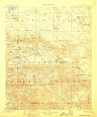
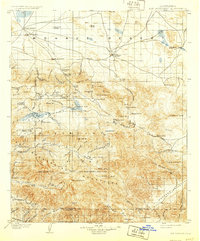
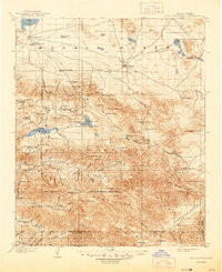
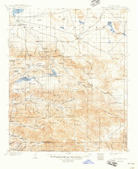
The Mojave Desert meets the high peaks of the San Bernardino Forest Reserve in this late nineteenth-century landscape. Sparse ranching and vital water sources like Rabbit Springs and Old Woman Springs define the arid northern flats, while the mountains to the south are dotted with early industrial outposts. Mining and timber operations are evidenced by the Rose Mine and Lakeview Mill, clustered near Baldwin Lake. Settlers and surveyors established early camps such as Doble and Greenlead Camp, navigating a complex terrain of high flats like Cactus Flat and deep gorges. The map captures the nascent recreational and agricultural footprint in the San Bernardino Mountains before the era of major reservoir construction, showing the natural extent of Bear Lake and the upper reaches of the Santa Ana River.
Find a feature on this map
103 named features on this map. Tap any name to fly to it.
Don’t see what you’re looking for? This feature index may not catch every label — zoom into the map to look around manually.
Map Details
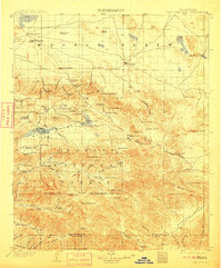
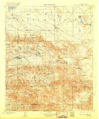
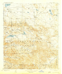
Editions of this 1902 San Gorgonio Map
8 editions found
Other maps of this area

1899 · Redlands
USGS Topo · 1:62,500

1901 · Southern California Sheet No. 1
USGS Topo · 1:250,000

1901 · San Jacinto
USGS Topo · 1:125,000

1901 · Redlands
USGS Topo · 1:62,500

1901 · Elsinore
USGS Topo · 1:125,000

1902 · Deep Creek
USGS Topo · 1:62,500

1904 · Southern California Sheet No. 1
USGS Topo · 1:250,000

1932 · Barstow
USGS Topo · 1:125,000

1934 · Barstow
USGS Topo · 1:125,000

1940 · Palm Springs
USGS Topo · 1:62,500