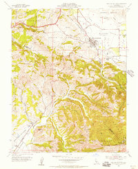
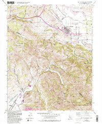
1955 Map of San Juan Bautista
USGS Topo · Published 1956About this map
The Mission San Juan Bautista serves as the historic anchor of this mid-century survey, surrounded by the notable Hist Monuments of the town's Spanish and Mexican heritage. The landscape is defined by the dramatic geology of the San Andreas Rift Zone, which cuts through the valley floor just south of the San Benito River. In the southern reaches, Fremont Peak State Park crowns the high ridges of the Cienega del Gabilan, overlooking a network of deep-cut drainages including Crazy Horse Canyon and Steinbach Canyon. Local land use is clearly delineated between the agricultural valley and the industrial footprint of the large Cement Plant near the rift. Educational and community sites such as Olympia Sch and Lagunita Sch are documented alongside the sprawl of Gabilan Acres, illustrating the region's post-war development pattern within the complex topography of the Monterey and San Benito county line.
Find a feature on this map
48 named features on this map. Tap any name to fly to it.
Don’t see what you’re looking for? This feature index may not catch every label — zoom into the map to look around manually.
Map Details
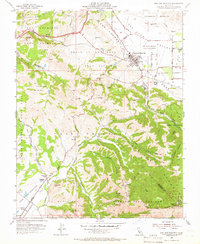
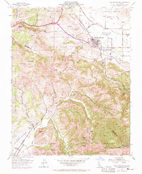
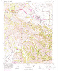
Editions of this 1955 San Juan Bautista Map
5 editions found
Other maps of this area

1910 · Salinas
USGS Topo · 1:31,680

1912 · Salinas
USGS Topo · 1:62,500

1915 · San Juan Bautista
USGS Topo · 1:48,000

1917 · San Juan Bautista
USGS Topo · 1:62,500

1919 · Hollister
USGS Topo · 1:48,000

1921 · Gonzales
USGS Topo · 1:62,500

1921 · Hollister
USGS Topo · 1:62,500

1923 · Hollister
USGS Topo · 1:62,500

1939 · San Juan Bautista
USGS Topo · 1:62,500

1940 · San Juan Bautista
USGS Topo · 1:62,500