
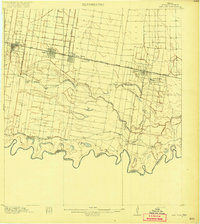
1914 Map of San Juan
USGS Topo · Published 1914About this map
The Rio Grande defines the serpentine southern border of this 1914 survey, winding past the United States Mexico boundary line. In the northern half of the quadrangle, the growing irrigation and rail network is evident as the St Louis Brownsville And Mexico railroad connects the early town centers of McAllen, Pharr, San Juan, and Donna. The grid systems of these settlements stand in sharp contrast to the wandering paths of the abandoned river channels or resacas, such as Resaca de las Sardinas and Resaca de la Donna. Large-scale agricultural development is anchored by the Valley View Plantation and an extensive Canal system, while the Military Road follows the river's path, providing a vital link between the Rio Grande and San Antonio Branch railroad and the various river crossings near East Donna.
Find a feature on this map
18 named features on this map. Tap any name to fly to it.
Don’t see what you’re looking for? This feature index may not catch every label — zoom into the map to look around manually.
Map Details
Editions of this 1914 San Juan Map
2 editions found
Other maps of this area

1916 · San Juan
USGS Topo · 1:62,500

1940 · Monte Christo
USGS Topo · 1:62,500

1949 · Mc Allen
USGS Topo · 1:250,000

1953 · Brownsville
USGS Topo · 1:250,000

1954 · McAllen
USGS Topo · 1:250,000

1956 · Mercedes
USGS Topo · 1:24,000
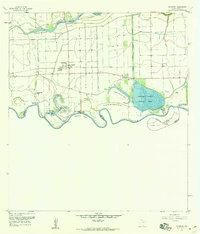
1956 · Progreso
USGS Topo · 1:24,000

1956 · Brownsville
USGS Topo · 1:250,000

1956 · Port Isabel
USGS Topo · 1:250,000
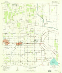
1957 · Edcouch
USGS Topo · 1:24,000