
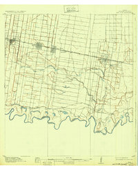
1916 Map of San Juan
USGS Topo · Published 1916About this map
The Rio Grande meanders along the international boundary between the United States and Mexico in this early 20th-century survey of Hidalgo County. The landscape is defined by the complex hydrology of ancient river channels, including Resaca Sardinas and Resaca La Cruz, which snake through the alluvial plains south of the growing rail corridor. Settlement patterns follow the St Louis Brownsville and Mexico railroad, which anchors the towns of Mc Allen, Pharr, San Juan, and Donna.
Find a feature on this map
21 named features on this map. Tap any name to fly to it.
Don’t see what you’re looking for? This feature index may not catch every label — zoom into the map to look around manually.
Map Details
Editions of this 1916 San Juan Map
3 editions found
Other maps of this area

1914 · San Juan
USGS Topo · 1:48,000

1940 · Monte Christo
USGS Topo · 1:62,500

1949 · Mc Allen
USGS Topo · 1:250,000

1953 · Brownsville
USGS Topo · 1:250,000

1954 · McAllen
USGS Topo · 1:250,000

1956 · Mercedes
USGS Topo · 1:24,000
1956 · Progreso
USGS Topo · 1:24,000

1956 · Brownsville
USGS Topo · 1:250,000

1956 · Port Isabel
USGS Topo · 1:250,000
1957 · Edcouch
USGS Topo · 1:24,000