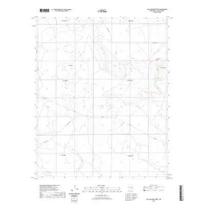
2020 Map of San Juan Mesa West
USGS Topo · Published 2020About this map
Billy the Kid Spring sits at the heart of this high-plains landscape, an enduring water source in the arid terrain of Chaves County. The map details the transition from the broad, flat expanse of San Juan Mesa to the lower elevation of Olive Basin, a topography defined by erosion and seasonal drainage patterns like Hernandez Draw. This area is crisscrossed by a network of rural routes, including Lovington Rd and San Patricio Rd, which trace the legacy of cattle ranching and historical movement across the Llano Estacado. These roads connect isolated livestock infrastructure, such as Red Tank, reflecting the long-standing land use patterns of the New Mexico interior. The survey provides a clear view of the modern ranching grid and the geographic features that have dictated settlement and survival in the region for generations.
Find a feature on this map
11 named features on this map. Tap any name to fly to it.
Don’t see what you’re looking for? This feature index may not catch every label — zoom into the map to look around manually.
Map Details
Editions of this 2020 San Juan Mesa West Map
This is the sole edition of this map. No revisions or reprints were ever made.
Other maps of this area

1954 · Fort Sumner
USGS Topo · 1:250,000

1954 · Clovis
USGS Topo · 1:250,000

1954 · Brownfield
USGS Topo · 1:250,000

1955 · Roswell
USGS Topo · 1:250,000

1958 · Brownfield
USGS Topo · 1:250,000

1958 · Fort Sumner
USGS Topo · 1:250,000

1958 · Clovis
USGS Topo · 1:250,000

1958 · Roswell
USGS Topo · 1:250,000

1962 · Roswell
USGS Topo · 1:250,000

1962 · Brownfield
USGS Topo · 1:250,000