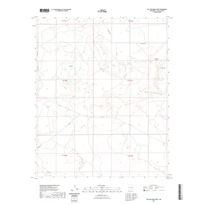
2023 Map of San Juan Mesa West
USGS Topo · Published 2023About this map
Billy the Kid Spring provides a distinct focal point in this landscape of the Pecos Valley region, situated at the edge of the prominent San Juan Mesa. This high desert terrain is defined by its drainage patterns and water management, with features like Hernandez Draw and the Red Tank illustrating how the land has been utilized for ranching and resource access. The map reveals a network of rural routes, including Lovington Rd and Olive Rd, which connect the open ranges of Olive Basin to the broader Chaves County area. The cadastral grid of the Public Land Survey System, showing townships like t4s r28e and t4s r29e, provides the underlying structure for these remote landholdings and grazing territories.
Find a feature on this map
17 named features on this map. Tap any name to fly to it.
Don’t see what you’re looking for? This feature index may not catch every label — zoom into the map to look around manually.
Map Details
Editions of this 2023 San Juan Mesa West Map
This is the sole edition of this map. No revisions or reprints were ever made.
Other maps of this area

1954 · Fort Sumner
USGS Topo · 1:250,000

1954 · Clovis
USGS Topo · 1:250,000

1954 · Brownfield
USGS Topo · 1:250,000

1955 · Roswell
USGS Topo · 1:250,000

1958 · Brownfield
USGS Topo · 1:250,000

1958 · Fort Sumner
USGS Topo · 1:250,000

1958 · Clovis
USGS Topo · 1:250,000

1958 · Roswell
USGS Topo · 1:250,000

1962 · Roswell
USGS Topo · 1:250,000

1962 · Brownfield
USGS Topo · 1:250,000