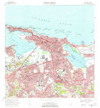
1969 Map of San Juan
USGS Topo · Published 1972About this map
Punta del Morro and the historic fortifications of Old San Juan anchor the northwestern edge of this 1960s urban survey. The map reveals the intense mid-century expansion of the capital, from the residential blocks of Condado and Miramar to the industrial and commercial growth in Hato Rey Central. The landscape is defined by the complex waterways of the Bahia de San Juan and the Cano de Martin Peña, which weave through densely populated barrios like Obrero and Villa Palmeras.
Find a feature on this map
215 named features on this map. Tap any name to fly to it.
Don’t see what you’re looking for? This feature index may not catch every label — zoom into the map to look around manually.
Map Details
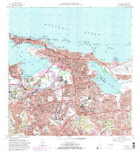
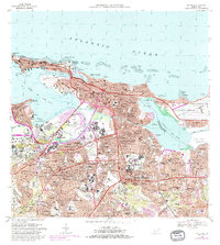
Editions of this 1969 San Juan Map
3 editions found
Other maps of this area

1940 · Carolina
USGS Topo · 1:30,000

1941 · Bayamon
USGS Topo · 1:30,000

1941 · San Juan
USGS Topo · 1:30,000

1941 · Carolina
USGS Topo · 1:30,000

1946 · Aguas Buenas
USGS Topo · 1:30,000

1946 · Naranjito
USGS Topo · 1:30,000

1946 · Gurabo
USGS Topo · 1:30,000

1947 · Carolina
USGS Topo · 1:30,000

1947 · Aguas Buenas NO
USGS Topo · 1:10,000

1947 · Bayamon
USGS Topo · 1:30,000