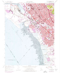
1959 Map of San Leandro
USGS Topo · Published 1974About this map
San Francisco Bay dominates the western shoreline of this East Bay region, where extensive mudflats separate the deep water from the developing industrial and residential corridors of the 1950s and 1970s. The Metropolitan Oakland International Airport and Hayward Municipal Airport anchor the northern and southern bounds of the sheet, reflecting the area's mid-century aviation growth. Between them, the Nimitz Freeway and Southern Pacific tracks provide the primary transit arteries for San Leandro and San Lorenzo.
Find a feature on this map
81 named features on this map. Tap any name to fly to it.
Don’t see what you’re looking for? This feature index may not catch every label — zoom into the map to look around manually.
Map Details
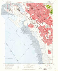
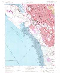
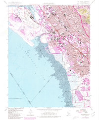
Editions of this 1959 San Leandro Map
4 editions found
Other maps of this area

1892 · San Mateo
USGS Topo · 1:62,500

1895 · San Francisco
USGS Topo · 1:62,500

1896 · San Mateo
USGS Topo · 1:62,500

1897 · Concord
USGS Topo · 1:62,500

1899 · San Francisco
USGS Topo · 1:62,500

1899 · Haywards
USGS Topo · 1:62,500

1899 · San Mateo
USGS Topo · 1:62,500

1915 · San Mateo
USGS Topo · 1:62,500

1915 · Haywards
USGS Topo · 1:62,500

1915 · Concord
USGS Topo · 1:62,500