
1965 Map of San Luis Obispo
USGS Topo · Published 1986About this map
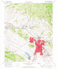
San Luis Obispo serves as the focal point of this mid-1960s study, showcasing the city's development alongside major academic and military institutions. The urban center is anchored by the historic Old Mission and the Courthouse, while the northern edge of town is dominated by the sprawling campus of California State Polytechnic College, complete with its own airport. To the northwest, the Camp San Luis Obispo National Guard Reservation occupies a significant portion of the valley, situated between the volcanic peaks of Cerro Romualdo and Chumash Peak.
Find a feature on this map
68 named features on this map. Tap any name to fly to it.
Don’t see what you’re looking for? This feature index may not catch every label — zoom into the map to look around manually.
Map Details
Editions of this 1965 San Luis Obispo Map
5 editions found
Other maps of this area

1897 · Port Harford
USGS Topo · 1:62,500

1897 · San Luis Obispo
USGS Topo · 1:62,500

1897 · Cayucos
USGS Topo · 1:62,500

1897 · Arroyo Grande
USGS Topo · 1:62,500

1900 · San Luis
USGS Topo · 1:125,000

1937 · Cayucos
USGS Topo · 1:62,500

1941 · Port San Luis
USGS Topo · 1:62,500

1942 · San Luis Obispo
USGS Topo · 1:62,500

1942 · Arroyo Grande
USGS Topo · 1:62,500

1943 · Cayucos
USGS Topo · 1:62,500