
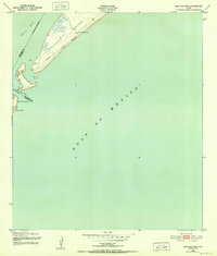
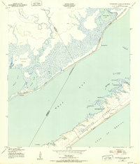
1943 Map of San Luis Pass
USGS Topo · Published 1943About this map
The western tip of Galveston Island and the neighboring San Luis Island define this coastal survey conducted during the Second World War. The landscape is dominated by the narrow tidal inlet of San Luis Pass, which separates the two islands and marks the boundary between Galveston and Brazoria counties. At this time, the San Luis Coast Guard Station stood as a primary landmark along the shore, featuring a prominent Cupola used for observation.
Find a feature on this map
10 named features on this map. Tap any name to fly to it.
Don’t see what you’re looking for? This feature index may not catch every label — zoom into the map to look around manually.
Map Details
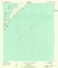
Editions of this 1943 San Luis Pass Map
3 editions found
Other maps of this area

1929 · Karankawa Lake
USGS Topo · 1:24,000

1931 · Lake Como
USGS Topo · 1:24,000

1933 · Karankawa Lake
USGS Topo · 1:31,680

1933 · San Luis Pass
USGS Topo · 1:31,680
1933 · Lake Como
USGS Topo · 1:31,680
1943 · Lake Como
USGS Topo · 1:25,000
1943 · Carancahua Lake
USGS Topo · 1:24,000

1943 · Christmas Point
USGS Topo · 1:24,000

1943 · Chocolate Bay
USGS Topo · 1:24,000

1950 · Houston
USGS Topo · 1:250,000