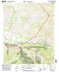
1995 Map of San Marcos Pass
USGS Topo · Published 2000About this map
The Santa Ynez Mountains define the central axis of this landscape, where the Santa Ynez River carves a deep valley between high peaks and historic Mexican-era land grants. The territory is divided between the San Marcos Grant and the Los Prietos y Najalayegua Grant, reflecting the region's colonial ranching origins. Modern recreation and public service are anchored by the Lake Cachuma Recreation Area and the Los Prietos Boys Camp, alongside specialized sites like the Santa Barbara Communication Range Station.
Find a feature on this map
42 named features on this map. Tap any name to fly to it.
Don’t see what you’re looking for? This feature index may not catch every label — zoom into the map to look around manually.
Map Details
Editions of this 1995 San Marcos Pass Map
This is the sole edition of this map. No revisions or reprints were ever made.
Other maps of this area

1902 · Santa Ynez
USGS Topo · 1:125,000

1905 · Santa Ynez
USGS Topo · 1:125,000

1941 · San Rafael Mtn.
USGS Topo · 1:62,500

1942 · Goleta
USGS Topo · 1:62,500

1942 · San Rafael Mtn.
USGS Topo · 1:62,500

1942 · Little Pine Mountain
USGS Topo · 1:24,000

1943 · Big Pine Mountain
USGS Topo · 1:31,680

1943 · San Rafael Mtn.
USGS Topo · 1:62,500

1944 · Santa Barbara
USGS Topo · 1:31,680
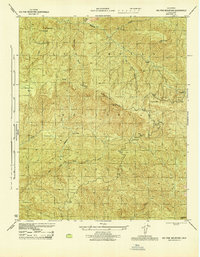
1944 · Big Pine Mtn
USGS Topo · 1:31,680