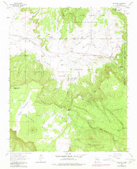
1963 Map of San Mateo
USGS Topo · Published 1981About this map
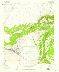
San Mateo serves as the primary hub in this New Mexico landscape, situated at the confluence of several canyon drainages and historical land grants. The settlement is positioned near the Bartolome Fernandez Grant Boundary, reflecting the region's complex history of colonial land divisions. Industrial and agricultural activity is evident through the presence of the San Mateo Mine and various ranching features like the Marcus Ranch and Mule Tank. The reliance on water management in this arid environment is highlighted by the numerous named tanks and springs, including San Mateo Reservoir and the San Mateo Springs cluster.
Find a feature on this map
47 named features on this map. Tap any name to fly to it.
Don’t see what you’re looking for? This feature index may not catch every label — zoom into the map to look around manually.
Map Details
Editions of this 1963 San Mateo Map
4 editions found
Other maps of this area

1883 · Mt. Taylor
USGS Topo · 1:250,000

1886 · Mt. Taylor
USGS Topo · 1:250,000

1892 · Mt. Taylor
USGS Topo · 1:250,000

1899 · Mt. Taylor
USGS Topo · 1:250,000

1957 · Lobo Springs
USGS Topo · 1:24,000

1957 · Ambrosia Lake
USGS Topo · 1:24,000

1957 · Mount Taylor
USGS Topo · 1:24,000

1957 · Dos Lomas
USGS Topo · 1:24,000
1957 · Grants
USGS Topo · 1:24,000

1958 · Albuquerque
USGS Topo · 1:250,000