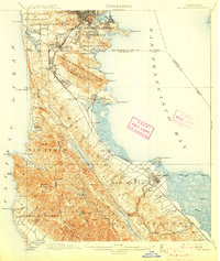
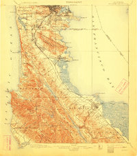
1899 Map of San Mateo
USGS Topo · Published 1907About this map
The Southern Pacific R. R. serves as the industrial spine of the Peninsula on this late nineteenth-century survey, linking emerging settlements like Colma, Baden Sta., and San Mateo to the city of San Francisco. The landscape is defined by its water infrastructure and social institutions, from the massive Crystal Springs Dam and Stone Dam regulating the reservoirs of Sawyer Ridge to the complex of Cemeteries south of the city line. In the north, the transition from the Pueblo Lands of San Francisco to the varied rancho tracts like Rincon De Las Salinas Y Potrero Viejo reveals a territory still largely defined by historic land grants. Cultural landmarks including the San Mateo Co. Alms House and several country schools like Reid School provide specific points of interest for genealogists tracing early Peninsula residents.
Find a feature on this map
96 named features on this map. Tap any name to fly to it.
Don’t see what you’re looking for? This feature index may not catch every label — zoom into the map to look around manually.
Map Details
Editions of this 1899 San Mateo Map
6 editions found
Other maps of this area

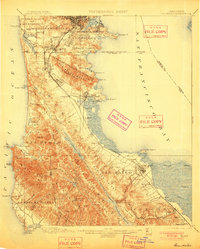
1892 · San Mateo
USGS Topo · 1:62,500

1895 · San Francisco
USGS Topo · 1:62,500

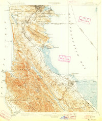
1896 · San Mateo
USGS Topo · 1:62,500

1897 · Concord
USGS Topo · 1:62,500

1897 · Palo Alto
USGS Topo · 1:62,500

1897 · Tamalpais
USGS Topo · 1:62,500

1899 · San Francisco
USGS Topo · 1:62,500

1899 · Palo Alto
USGS Topo · 1:62,500

1899 · Haywards
USGS Topo · 1:62,500

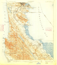
1899 · San Mateo
USGS Topo · 1:62,500