
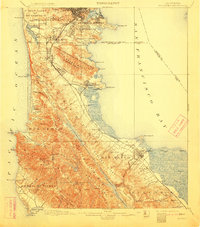
1899 Map of San Mateo
USGS Topo · Published 1899About this map
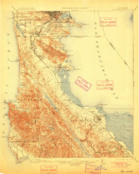
Pueblo Lands of San Francisco and the northern San Mateo peninsula are documented here during a period of significant transition from rural land grants to industrial and residential growth. The landscape is dominated by the ridges of San Bruno Mountain and the water infrastructure essential to the growing city, including San Andreas Lake and the Crystal Springs Dam. Transportation is anchored by the Southern Pacific RR and the Monterey Line, which link early coastal settlements like Colma and Baden Sta. to the urban core.
Find a feature on this map
95 named features on this map. Tap any name to fly to it.
Don’t see what you’re looking for? This feature index may not catch every label — zoom into the map to look around manually.
Map Details
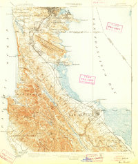
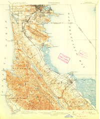
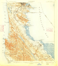
Editions of this 1899 San Mateo Map
6 editions found
Other maps of this area

1892 · San Mateo
USGS Topo · 1:62,500

1895 · San Francisco
USGS Topo · 1:62,500

1896 · San Mateo
USGS Topo · 1:62,500

1897 · Concord
USGS Topo · 1:62,500

1897 · Palo Alto
USGS Topo · 1:62,500

1897 · Tamalpais
USGS Topo · 1:62,500

1899 · San Francisco
USGS Topo · 1:62,500

1899 · Palo Alto
USGS Topo · 1:62,500

1899 · Haywards
USGS Topo · 1:62,500

1902 · Santa Cruz
USGS Topo · 1:125,000