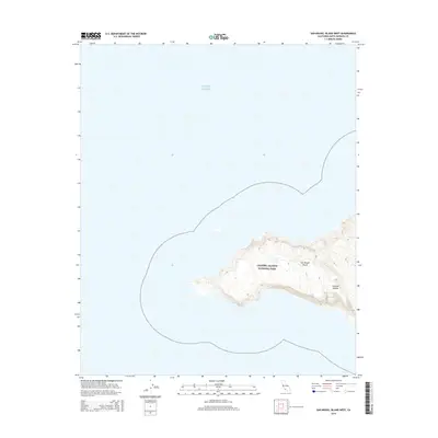
2015 Map of San Miguel Island West
USGS Topo · Published 2015About this map
San Miguel Island represents the westernmost point of the Channel Islands chain, captured here as part of the Channel Islands National Park. This portion of the island is dominated by the narrow, westward-stretching landmass surrounded by the Pacific Ocean, where the elevation contours reveal the wind-swept topography and isolated nature of the terrain. The landscape is defined by its maritime boundary, reflecting a territory managed for conservation by the U.S. Department of the Interior. For those studying the geography of coastal California, the map documents the precise shoreline and topographic profile of this remote island environment in the mid-2010s.
Find a feature on this map
4 named features on this map. Tap any name to fly to it.
Don’t see what you’re looking for? This feature index may not catch every label — zoom into the map to look around manually.
Map Details
Editions of this 2015 San Miguel Island West Map
This is the sole edition of this map. No revisions or reprints were ever made.
Other maps of this area
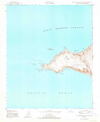
1943 · San Miguel Island West
USGS Topo · 1:24,000
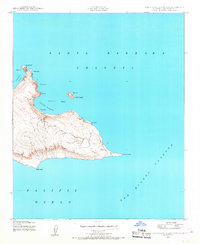
1943 · San Miguel Island East
USGS Topo · 1:24,000

1948 · Santa Maria
USGS Topo · 1:250,000
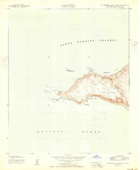
1950 · San Miguel Island West
USGS Topo · 1:24,000
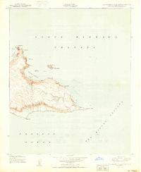
1950 · San Miguel Island East
USGS Topo · 1:24,000

1956 · Santa Maria
USGS Topo · 1:250,000

1957 · Santa Maria
USGS Topo · 1:250,000

1958 · Santa Maria
USGS Topo · 1:250,000

1962 · Santa Maria
USGS Topo · 1:250,000
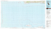
1981 · Point Conception
USGS Topo · 1:100,000