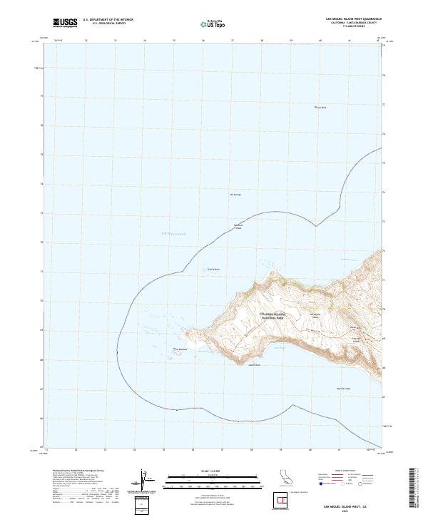
2021 Map of San Miguel Island West
USGS Topo · Published 2021About this map
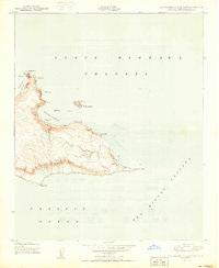
San Miguel Island dominates this maritime survey, showing the western reaches of the northernmost island in the Channel Islands National Park. The landscape is defined by its isolation and dramatic coastal features, including the prominent Point Bennett and the inland heights of Green Mountain. The map details a single traversable path, the Point Bennett Trail, which provides access through the protected terrain. Off the wind-swept coast, numerous maritime hazards and landmarks are documented, such as Wilson Rock, Castle Rock, and the submerged Wycoff Ledge. These features, along with names like Oil Springs and Westcott Shoal, highlight the navigational complexity and natural preservation of this remote Santa Barbara County territory. The survey provides a modern accounting of the island’s topography, capturing the shoreline contours of Adams Cove and Tyler Bight during a period of ongoing environmental stewardship.
Find a feature on this map
16 named features on this map. Tap any name to fly to it.
Don’t see what you’re looking for? This feature index may not catch every label — zoom into the map to look around manually.
Map Details
Editions of this 2021 San Miguel Island West Map
This is the sole edition of this map. No revisions or reprints were ever made.
Other maps of this area
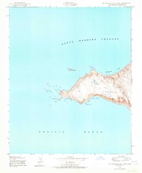
1943 · San Miguel Island West
USGS Topo · 1:24,000
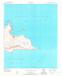
1943 · San Miguel Island East
USGS Topo · 1:24,000

1948 · Santa Maria
USGS Topo · 1:250,000
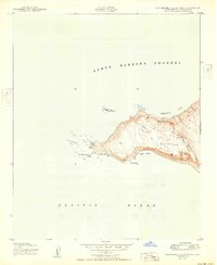
1950 · San Miguel Island West
USGS Topo · 1:24,000
1950 · San Miguel Island East
USGS Topo · 1:24,000

1956 · Santa Maria
USGS Topo · 1:250,000

1957 · Santa Maria
USGS Topo · 1:250,000

1958 · Santa Maria
USGS Topo · 1:250,000

1962 · Santa Maria
USGS Topo · 1:250,000
1981 · Point Conception
USGS Topo · 1:100,000