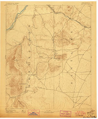
1892 Map of San Pedro
USGS Topo · Published 1897About this map
San Pedro Mts. and the surrounding high desert terrain dominate this late nineteenth-century survey, conducted when the mining districts of Golden and San Pedro were active centers of regional industry. The landscape is defined by its dramatic relief, from the towering heights of the Sandia Mountains and Sandia Pk. in the west to the Ortiz Mountains in the east. Transport and trade are anchored by the Atchison Topeka and Santa Fe Railroad, which follows Galisteo Creek past Cerrillos and Ortiz, connecting the river valley at Algodones to the inland mesas. A network of smaller settlements and family-named locales like Hagers, Dolores, and Tejon suggests a period of transition, where established Spanish-influenced plazas like San Antonio and San Antonito existed alongside newer rail-side stations and mining camps. The presence of the Bad Lands and the sharp descent into Tijeras Canyon illustrate the geological constraints that shaped travel through this New Mexico corridor.
Find a feature on this map
35 named features on this map. Tap any name to fly to it.
Don’t see what you’re looking for? This feature index may not catch every label — zoom into the map to look around manually.
Map Details
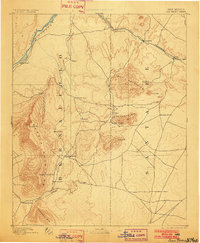
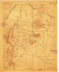
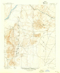
Editions of this 1892 San Pedro Map
5 editions found
Other maps of this area

1888 · Bernalillo
USGS Topo · 1:125,000

1889 · Albuquerque
USGS Topo · 1:125,000

1889 · Santa Fe
USGS Topo · 1:125,000

1890 · Jemes
USGS Topo · 1:125,000

1892 · San Pedro
USGS Topo · 1:125,000

1892 · Jemes
USGS Topo · 1:125,000

1892 · Santa Clara
USGS Topo · 1:125,000

1893 · Albuquerque
USGS Topo · 1:125,000

1894 · Santa Fe
USGS Topo · 1:125,000

1894 · Lamy
USGS Topo · 1:125,000