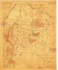
1892 Map of San Pedro
USGS Topo · Published 1910About this map
The Sandia Mountains and Ortiz Mountains anchor this late-nineteenth-century landscape, revealing a period of significant mining and rail development in the high desert between the Rio Grande and the Galisteo Divide. The Atchison Topeka and Santa Fe Railroad cuts across the northern terrain, connecting vital stops like Cerrillos and Rosario. Centrally located, the settlements of Golden, San Pedro, and Dolores suggest the region's active mineral extraction history, clustered near the peak of South Mt.. The map also documents a network of trails and roads linking smaller outposts such as Tejon, Una de Gato, and Alamillo. Deep canyons like Tijeras Canyon and Tellera Canyon provide natural passages through the uplifted peaks, while the Bad Lands near the river valley demonstrate the varied and difficult topography early surveyors encountered during the 1888-89 field seasons.
Find a feature on this map
36 named features on this map. Tap any name to fly to it.
Don’t see what you’re looking for? This feature index may not catch every label — zoom into the map to look around manually.
Map Details
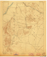
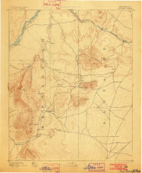
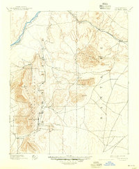
Editions of this 1892 San Pedro Map
5 editions found
Other maps of this area

1888 · Bernalillo
USGS Topo · 1:125,000

1889 · Albuquerque
USGS Topo · 1:125,000

1889 · Santa Fe
USGS Topo · 1:125,000

1890 · Jemes
USGS Topo · 1:125,000

1892 · San Pedro
USGS Topo · 1:125,000

1892 · Jemes
USGS Topo · 1:125,000

1892 · Santa Clara
USGS Topo · 1:125,000

1893 · Albuquerque
USGS Topo · 1:125,000

1894 · Santa Fe
USGS Topo · 1:125,000

1894 · Lamy
USGS Topo · 1:125,000