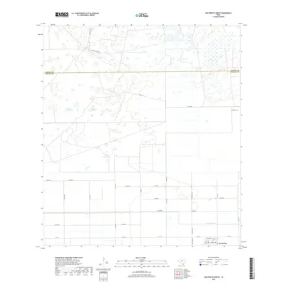
2019 Map of San Perlita North
USGS Topo · Published 2019About this map
San Perlita anchors the southeastern corner of this South Texas landscape, where the transition from organized agriculture to the coastal prairie of the Wild Horse Desert is clearly visible. The southern portion of the map is defined by a rigid grid of farm-to-market roads and drainage infrastructure like the East Main Drain, supporting the local citrus and cotton economy. Moving north across the Kenedy and Willacy County line, the terrain shifts into a series of ephemeral water features and sand dunes typical of this region. Named catchments such as Santo Domingo Tank, Tajitos, and Tanque los Cuates are vital landmarks in this arid environment, while legacy cattle ranching routes like H Yturria Rd and Punta del Monte Rd provide access to the vast ranchlands extending north toward the Baffin Bay area.
Find a feature on this map
33 named features on this map. Tap any name to fly to it.
Don’t see what you’re looking for? This feature index may not catch every label — zoom into the map to look around manually.
Map Details
Editions of this 2019 San Perlita North Map
This is the sole edition of this map. No revisions or reprints were ever made.
Other maps of this area

1921 · Tarida Ranch
USGS Topo · 1:62,500

1922 · La Sal Vieja
USGS Topo · 1:62,500

1953 · Brownsville
USGS Topo · 1:250,000

1956 · Rudolph
USGS Topo · 1:24,000

1956 · San Perlita South
USGS Topo · 1:24,000

1956 · Rosita Lake
USGS Topo · 1:24,000

1956 · San Perlita North
USGS Topo · 1:24,000
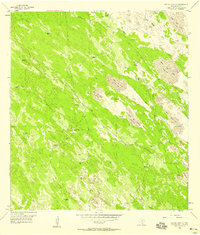
1956 · Rosita Lake NE
USGS Topo · 1:24,000
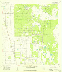
1956 · Willamar
USGS Topo · 1:24,000

1956 · Yturria
USGS Topo · 1:24,000