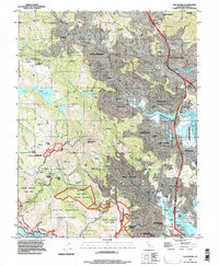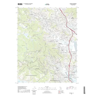
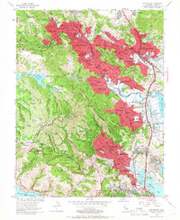
1954 Map of San Rafael
USGS Topo · Published 1955About this map
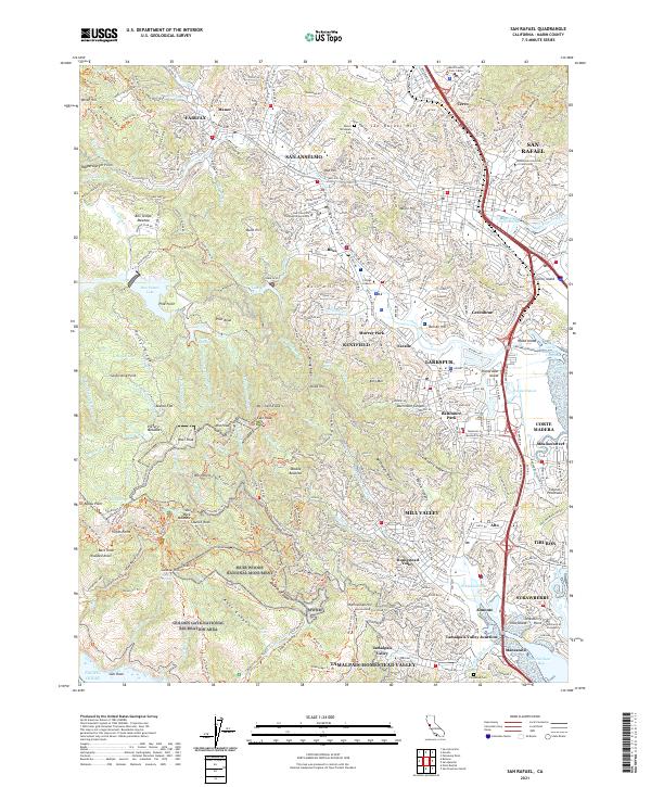
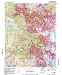
Muir Woods National Monument and the steep slopes of Mt Tamalpais dominate the southern landscape of this mid-century Marin County survey. The map reveals a suburban network of valley floor settlements including San Anselmo, Ross, and Larkspur, connected by the Redwood Highway and the Northwestern Pacific railroad corridor. Institutional landmarks like the San Francisco Theological Seminary and Dominican College are well-established, while the Mt Tamalpais State Park protects the high ridges of East Peak and West Peak. To the east, the shoreline of Richardson Bay and San Francisco Bay shows the era's development at Manzanita and Marin City, contrasted with the interior's expansive Game Refuge and the watershed reservoirs of Lake Lagunitas and Bon Tempe Lake. This record documents the specific topography and infrastructure of the North Bay before later 20th-century expansion.
Find a feature on this map
123 named features on this map. Tap any name to fly to it.
Don’t see what you’re looking for? This feature index may not catch every label — zoom into the map to look around manually.
Map Details
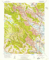
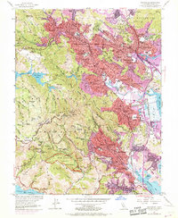
Editions of this 1954 San Rafael Map
7 editions found
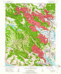
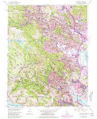
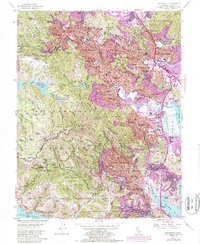
Historical Maps of San Rafael Through Time
7 maps found