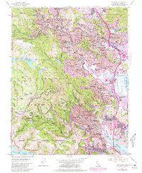
1954 Map of San Rafael
USGS Topo · Published 1980About this map
Muir Woods National Monument and the surrounding peaks of the Mount Tamalpais State Park dominate the southwestern portion of this mid-century survey, illustrating the preserved redwood groves and steep canyons that buffer the growing suburban communities of Marin County. The landscape transitions from the high ridges of East Peak and Middle Peak down into the dense residential and educational hubs of San Rafael, San Anselmo, and Ross. Local history is anchored by landmarks like the Mission San Rafael Arcangel and the San Francisco Theological Seminary, alongside the tracks of the Northwestern Pacific RR which connect these valley towns.
Find a feature on this map
82 named features on this map. Tap any name to fly to it.
Don’t see what you’re looking for? This feature index may not catch every label — zoom into the map to look around manually.
Map Details
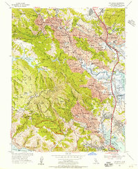
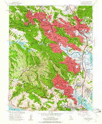
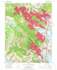
Editions of this 1954 San Rafael Map
7 editions found
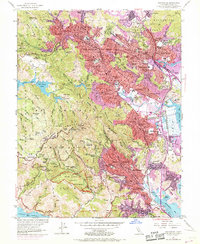
Other maps of this area

1895 · San Francisco
USGS Topo · 1:62,500

1897 · Tamalpais
USGS Topo · 1:62,500

1899 · San Francisco
USGS Topo · 1:62,500

1902 · Napa
USGS Topo · 1:125,000

1914 · Petaluma
USGS Topo · 1:62,500

1915 · San Francisco
USGS Topo · 1:62,500

1916 · Mare Island
USGS Topo · 1:62,500

1941 · Tamalpais
USGS Topo · 1:62,500

1942 · Mare Island
USGS Topo · 1:62,500

1942 · Petaluma
USGS Topo · 1:62,500