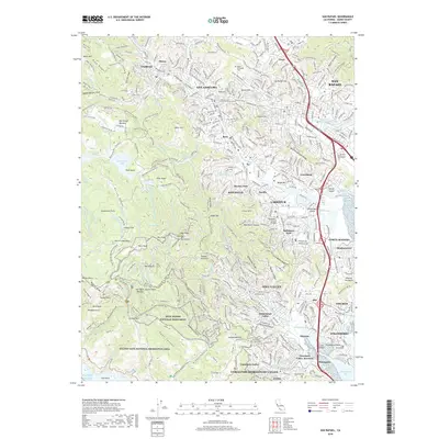
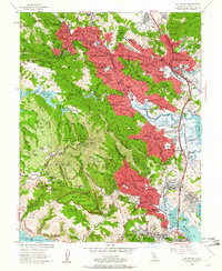
1954 Map of San Rafael
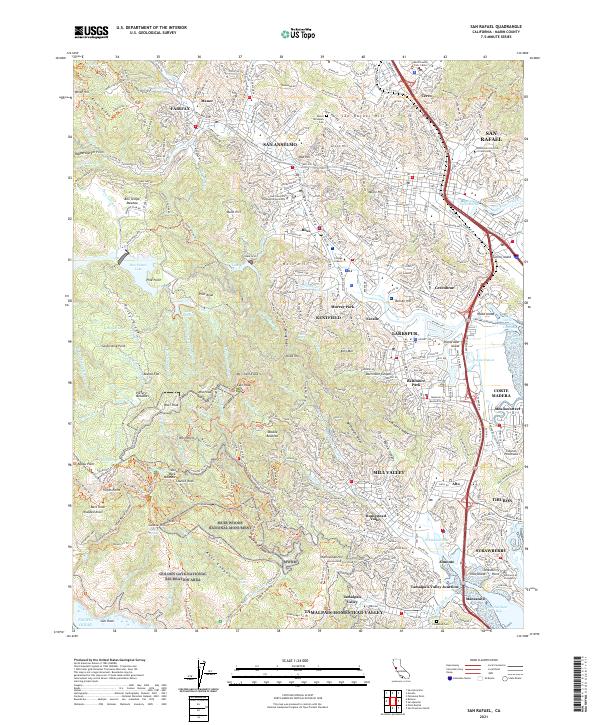
USGS Topo · Published 1980About this map
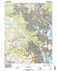
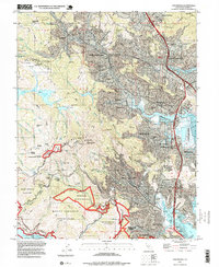
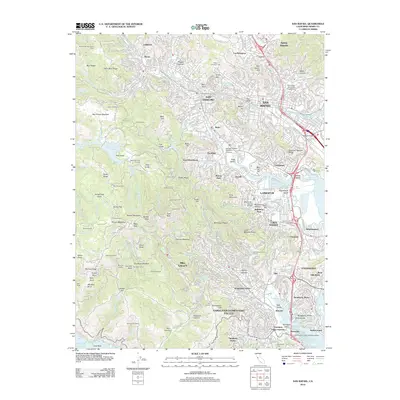
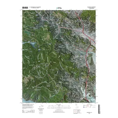
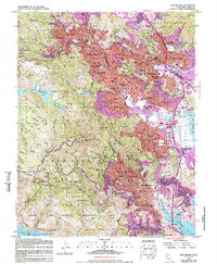
The hills of central Marin County define this landscape, where early post-war suburban growth meets the protected slopes of Mount Tamalpais State Park. In the mid-1950s, the residential corridors of San Rafael, San Anselmo, and Ross were already well-established, anchored by institutions like the San Francisco Theological Seminary and Dominican College. The map reveals a dense network of local education and community life, featuring dozens of schools such as Sir Francis Drake High School and the Katherine Branson School. Toward the south, the terrain drops steeply into the redwood groves of Muir Woods National Monument and the tidal reaches of Richardson Bay. To the east, the developing shoreline at Corte Madera and Green Brae shows the early encroachment of infrastructure onto the bay's edge, while Mt Tamalpais Cemetery occupies a prominent rise in the north.
Find a feature on this map
90 named features on this map. Tap any name to fly to it.
Don’t see what you’re looking for? This feature index may not catch every label — zoom into the map to look around manually.
Map Details
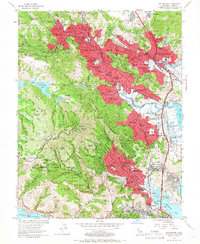
Editions of this 1954 San Rafael Map
7 editions found
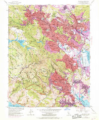
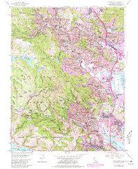
Historical Maps of San Rafael Through Time
7 maps found