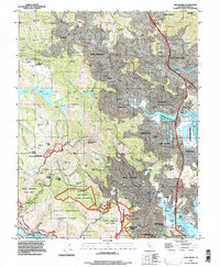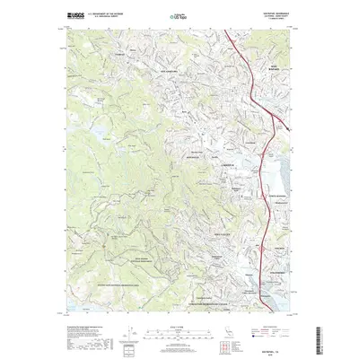
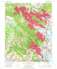
1954 Map of San Rafael
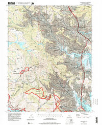
USGS Topo · Published 1961About this map
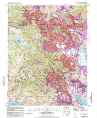
San Rafael and its neighboring Marin County communities are depicted here in the mid-1950s, a period of significant suburban expansion along the Northwestern Pacific railroad and Redwood Highway. The dense residential footprints of Fairfax, San Anselmo, and Larkspur contrast sharply with the preserved wilderness of Mt Tamalpais State Park and Muir Woods National Monument to the west. Institutional landmarks are prominent, including the San Francisco Theological Seminary and the Military Academy, alongside civic infrastructure like the Marin General Hospital. Higher elevations such as Pilot Knob and East Peak overlook a network of reservoirs including Phoenix Lake and Alpine Lake. Along the eastern edge, the topography descends into the tidal flats of Richardson Bay and San Francisco Bay, where a Drawbridge and salt marshes meet the developing shoreline of Corte Madera.
Find a feature on this map
152 named features on this map. Tap any name to fly to it.
Don’t see what you’re looking for? This feature index may not catch every label — zoom into the map to look around manually.
Map Details
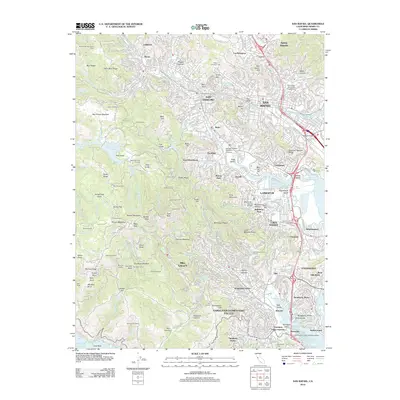
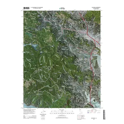
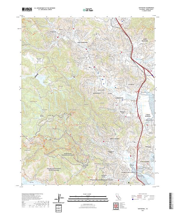
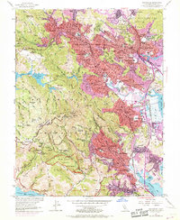
Editions of this 1954 San Rafael Map
7 editions found
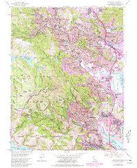
Historical Maps of San Rafael Through Time
7 maps found