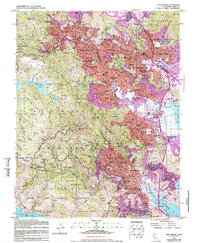
1954 Map of San Rafael
USGS Topo · Published 1988About this map
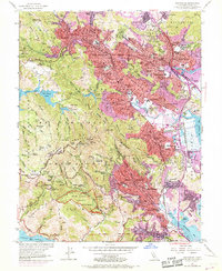
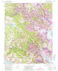
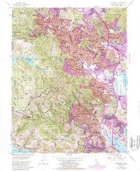
Mt Tamalpais anchors this mid-century view of Marin County, where the dense coastal canyons of the Muir Woods National Monument give way to the burgeoning postwar suburban landscape. The era’s growth is visible in the network of schools and civic institutions, from the San Francisco Theological Seminary in San Anselmo to Dominican College in San Rafael. The transportation infrastructure of the time is defined by the Northwestern Pacific RR and the Highway 101 corridor, which spurred the expansion of valley settlements like Corte Madera and Larkspur. In the hills, the presence of Borths Retreat and the Mountain Theater reflects the region's long-standing culture of recreational access. This survey also records the institutional character of the day, featuring the Military Academy and the Mt Tamalpais Cemetery, illustrating a community transitioning from early rural estates to a primary residence for the Bay Area workforce.
Find a feature on this map
118 named features on this map. Tap any name to fly to it.
Don’t see what you’re looking for? This feature index may not catch every label — zoom into the map to look around manually.
Map Details
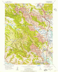
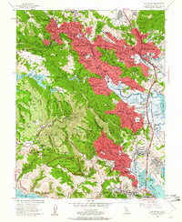
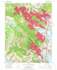
Editions of this 1954 San Rafael Map
7 editions found
Other maps of this area

1895 · San Francisco
USGS Topo · 1:62,500

1897 · Tamalpais
USGS Topo · 1:62,500

1899 · San Francisco
USGS Topo · 1:62,500

1902 · Napa
USGS Topo · 1:125,000

1914 · Petaluma
USGS Topo · 1:62,500

1915 · San Francisco
USGS Topo · 1:62,500

1916 · Mare Island
USGS Topo · 1:62,500

1941 · Tamalpais
USGS Topo · 1:62,500

1942 · Mare Island
USGS Topo · 1:62,500

1942 · Petaluma
USGS Topo · 1:62,500